
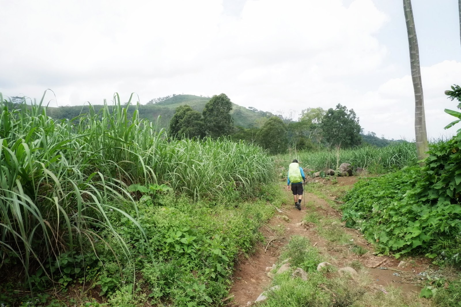
 |
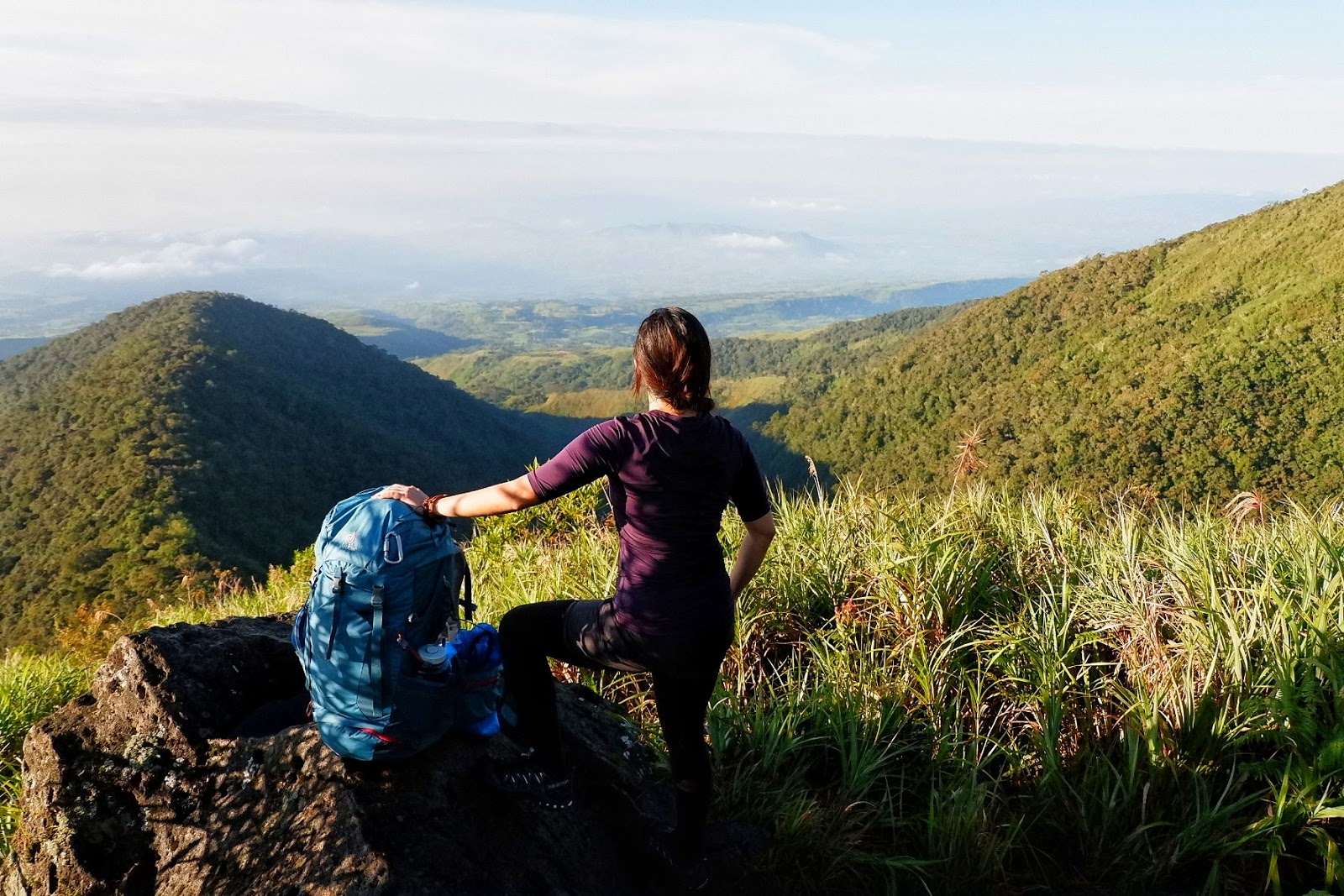
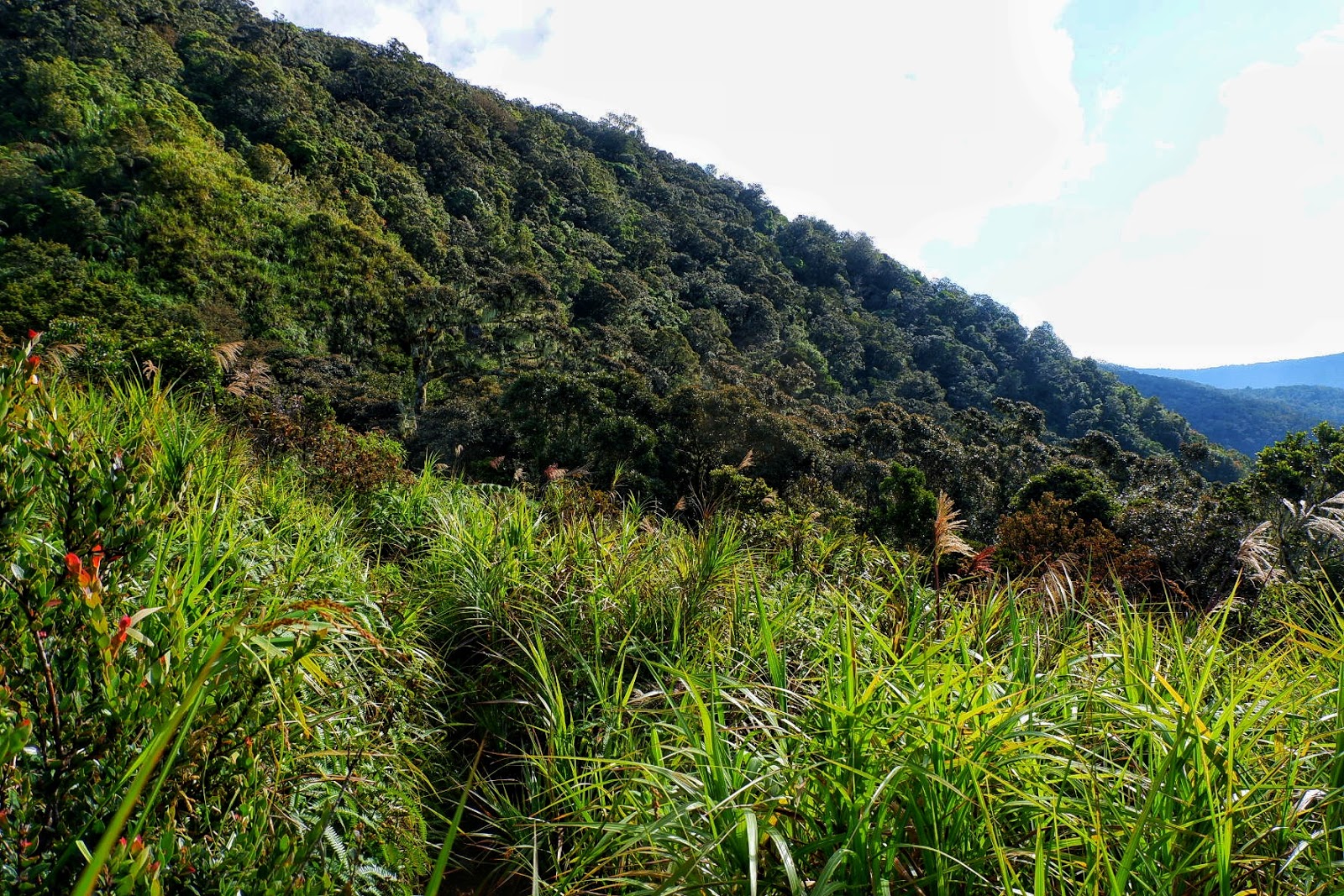
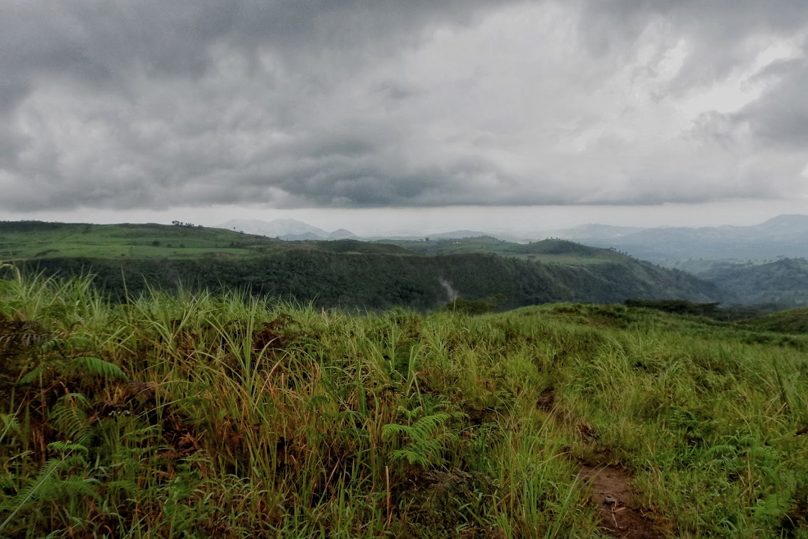
| Higher Elevation, the view just gets better and better |
 |
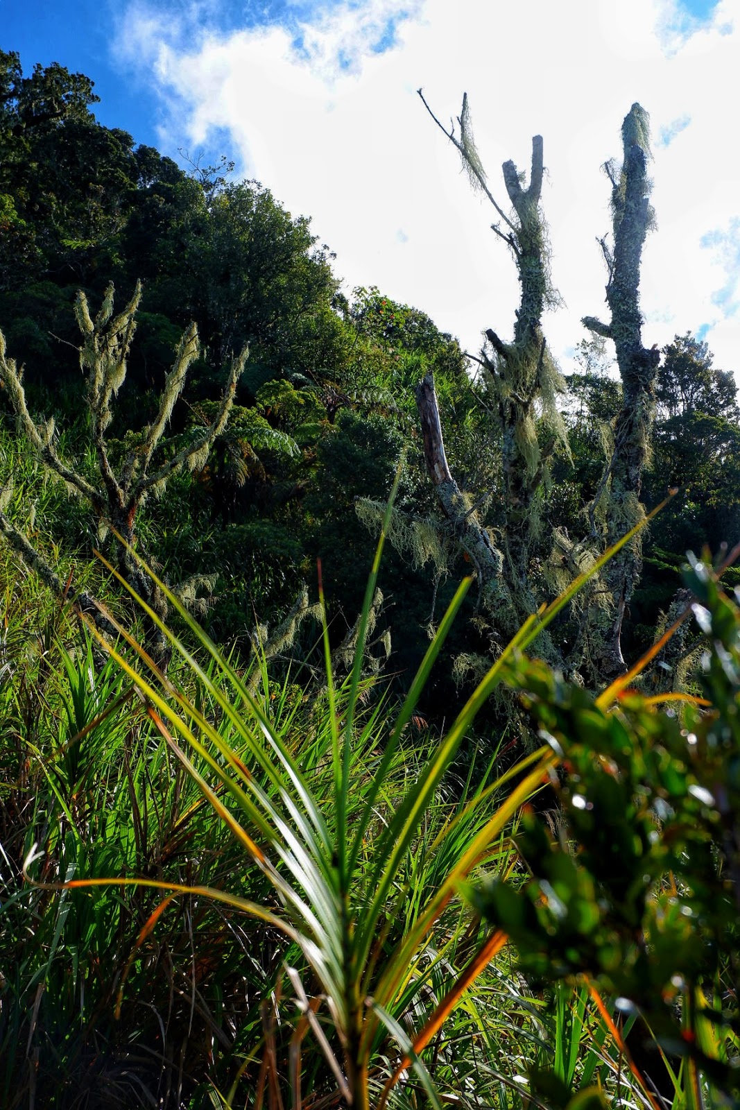
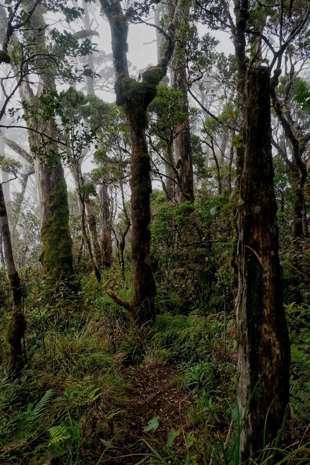
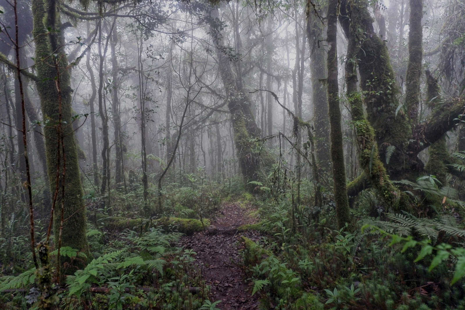
| Into the Mossy Forest |
 |
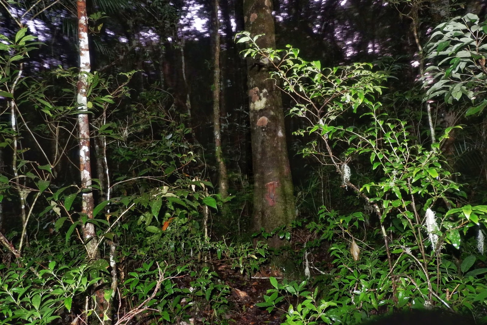
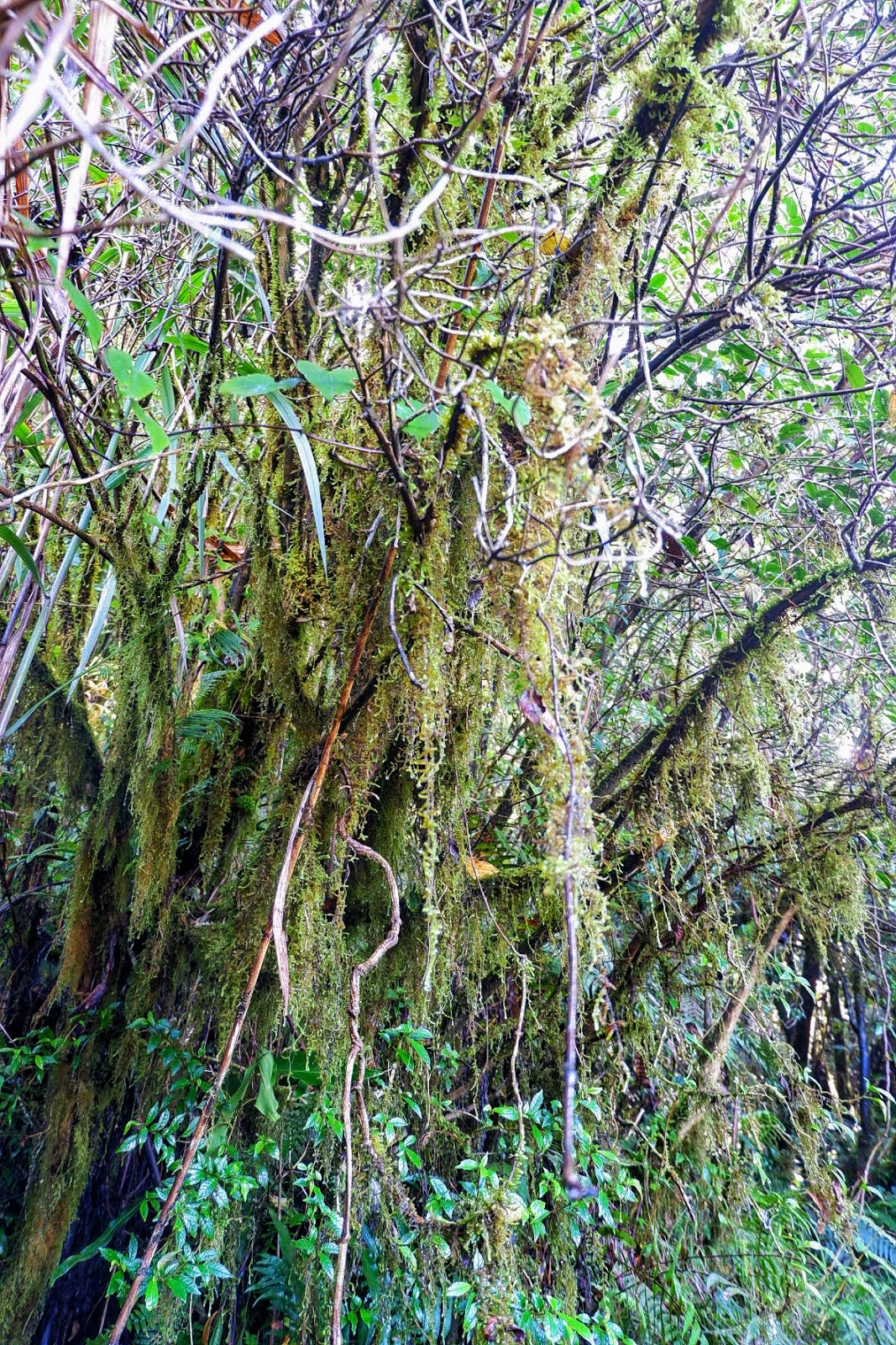
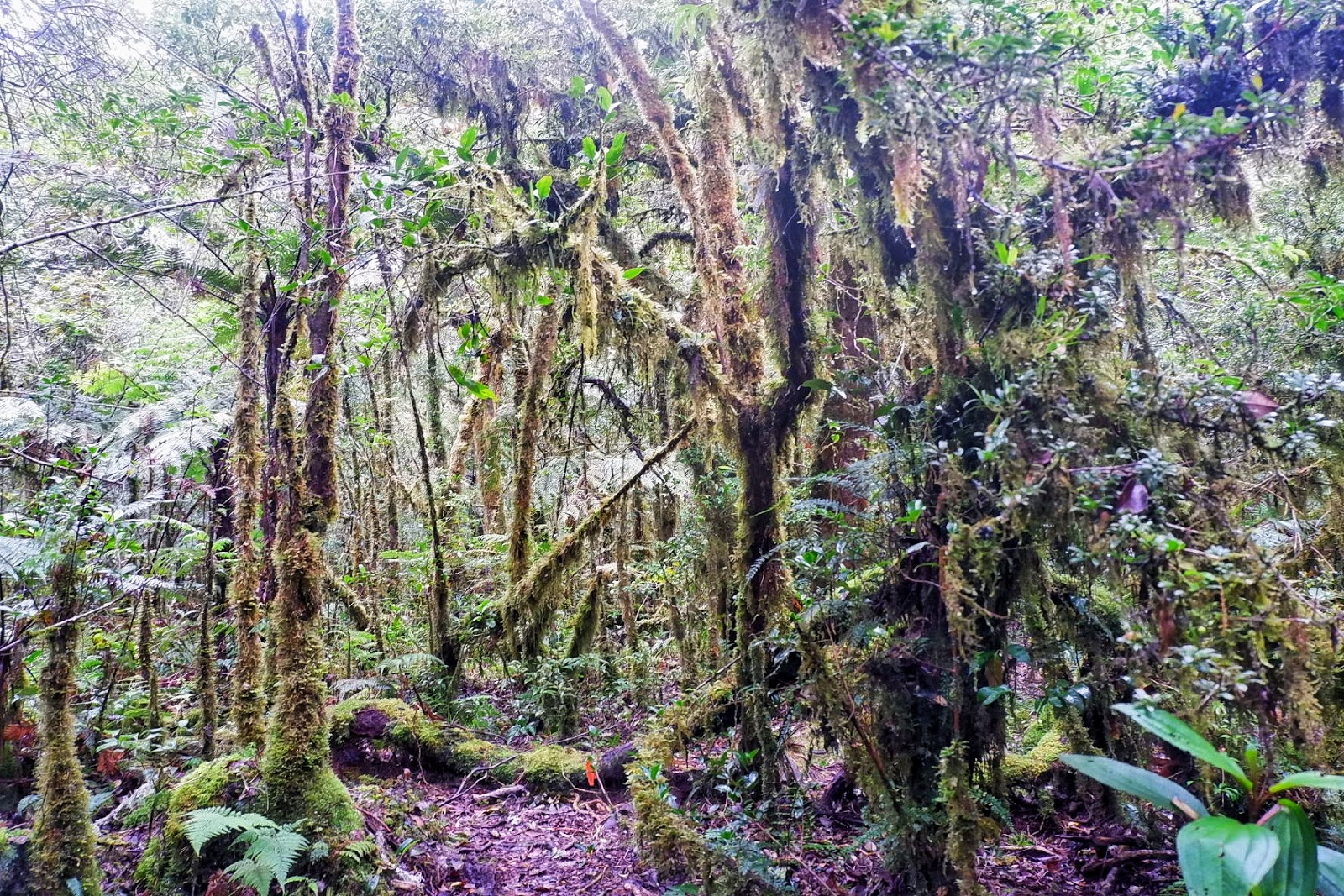
| Moss-covered trees |
 |
| More of the moss-covered plants |
 |
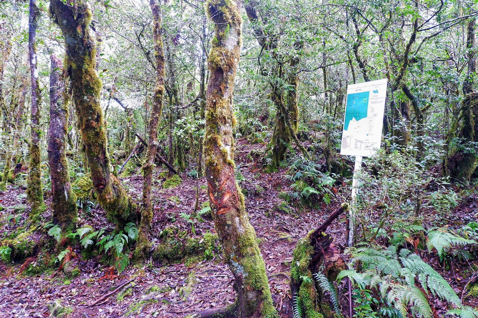
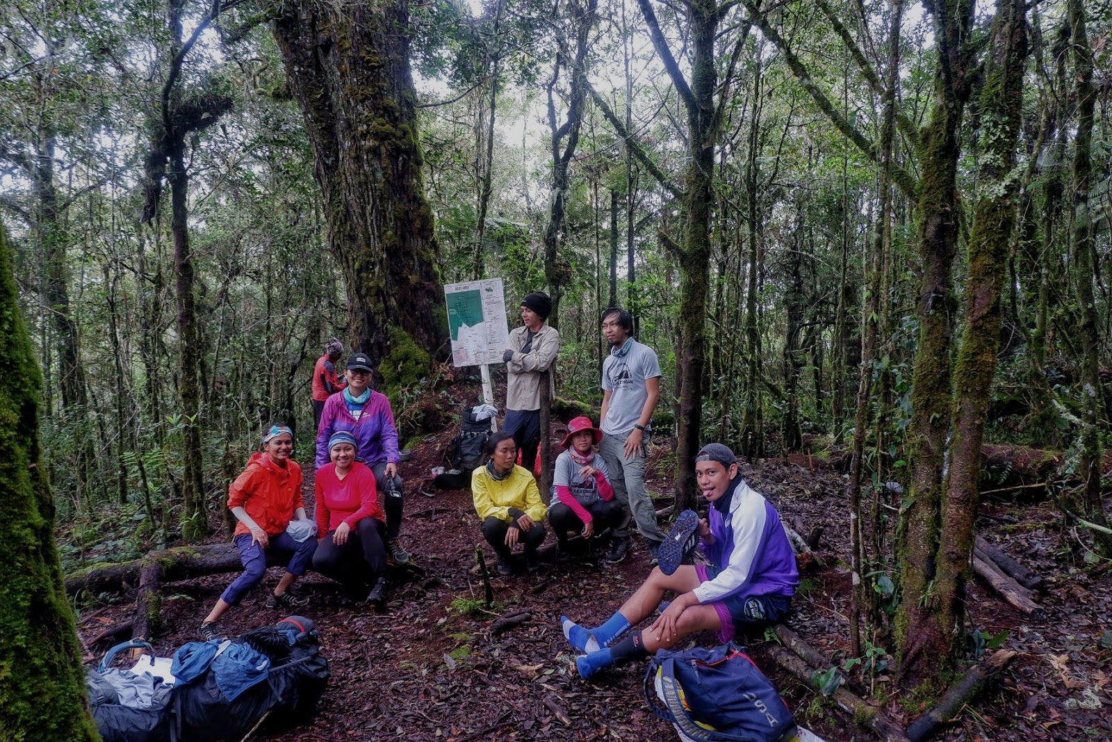
| Rest Area |
 |
| It’s a moss-full world |
 |
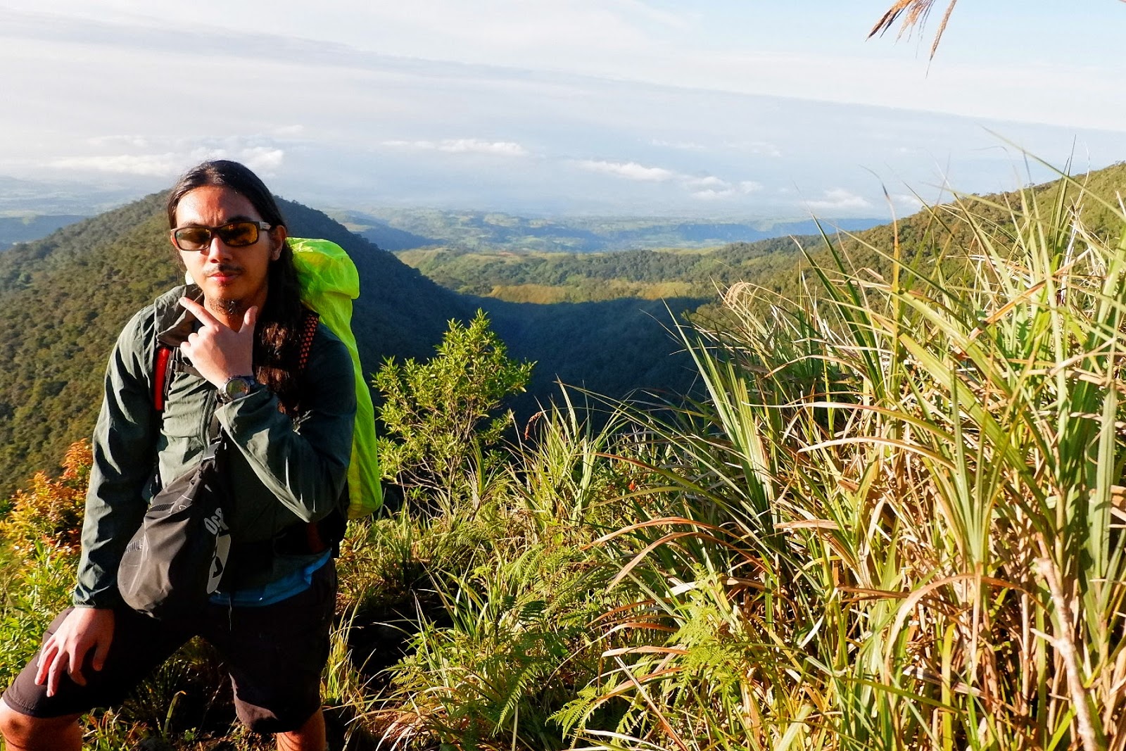
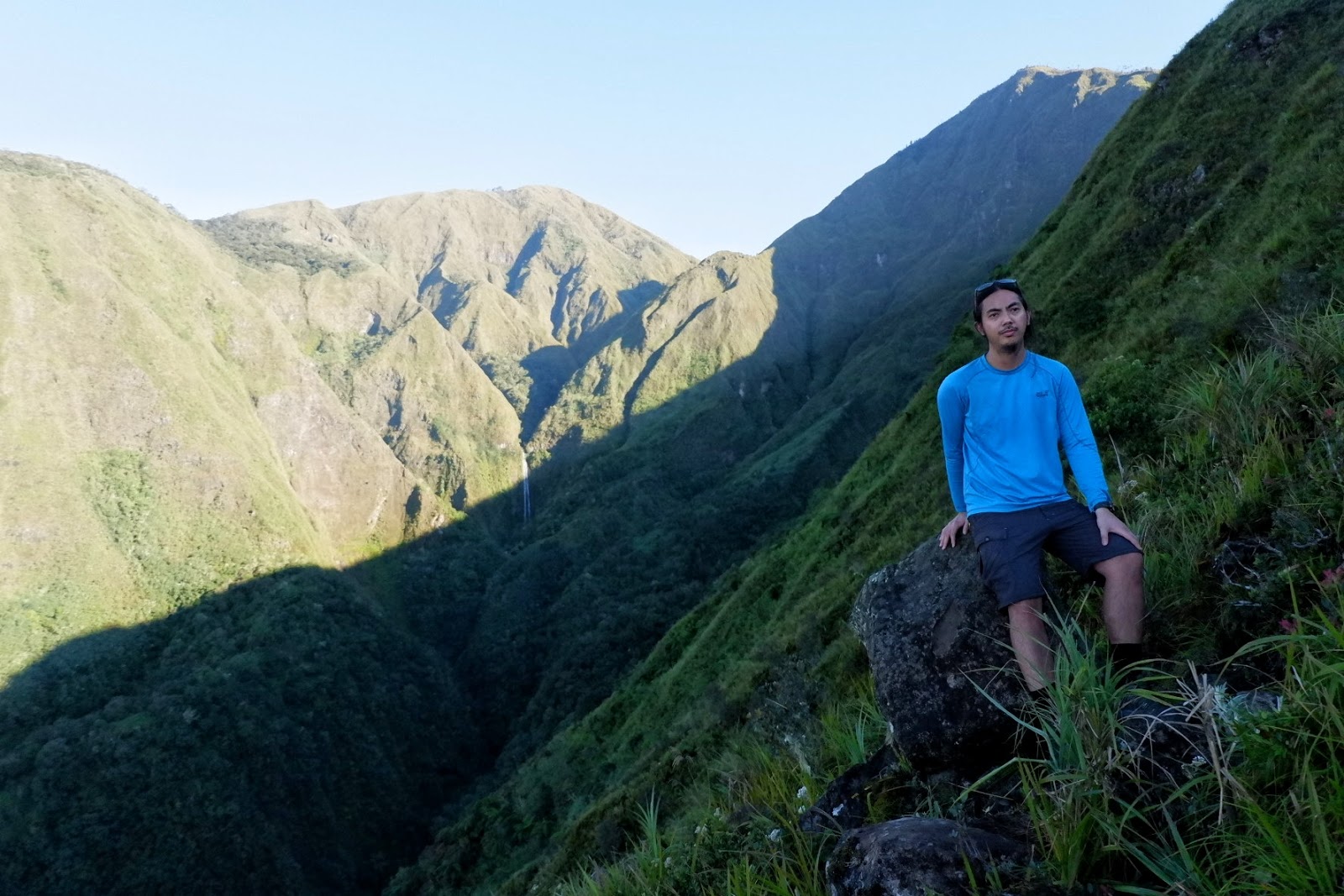
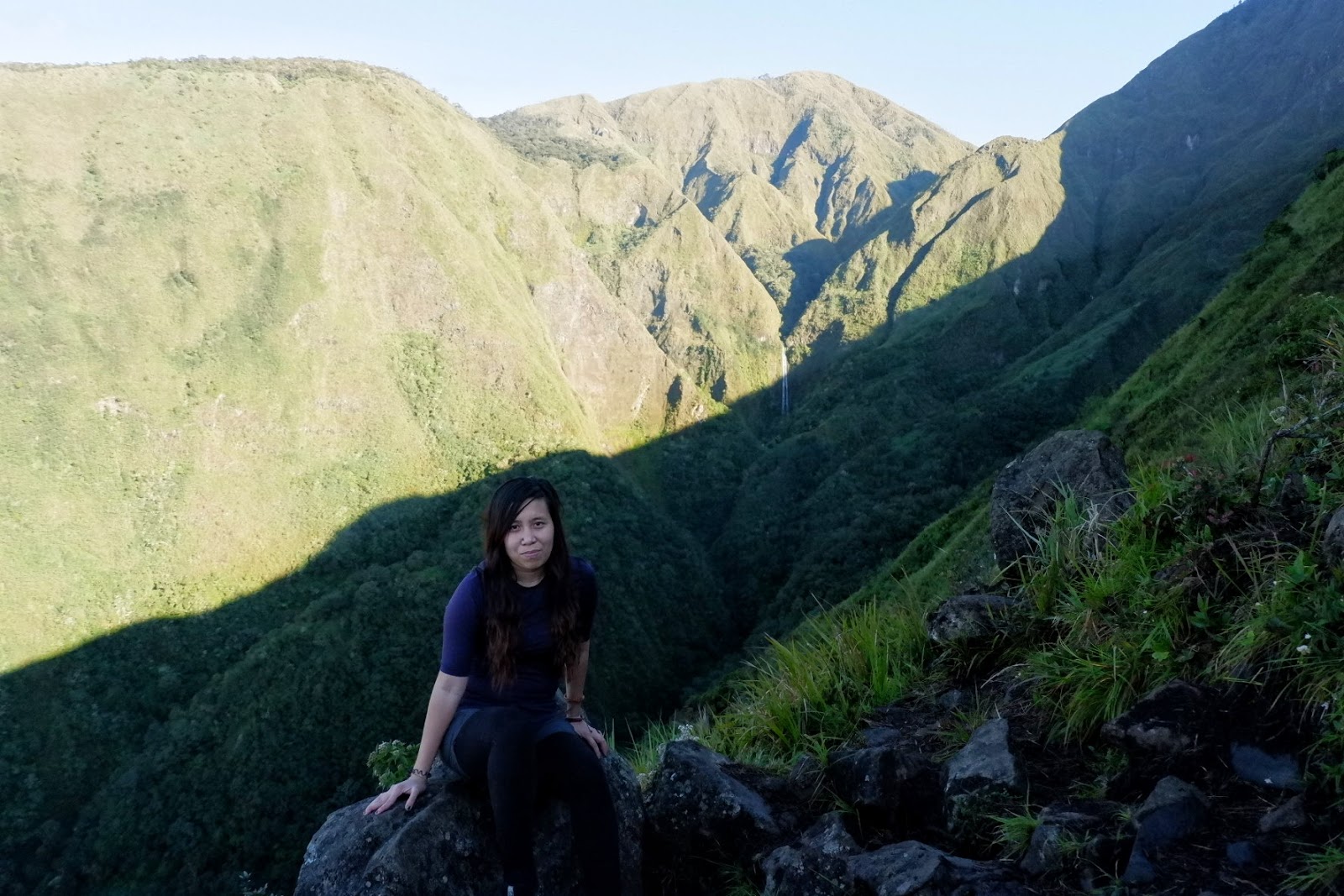
| Another quick click |
 |
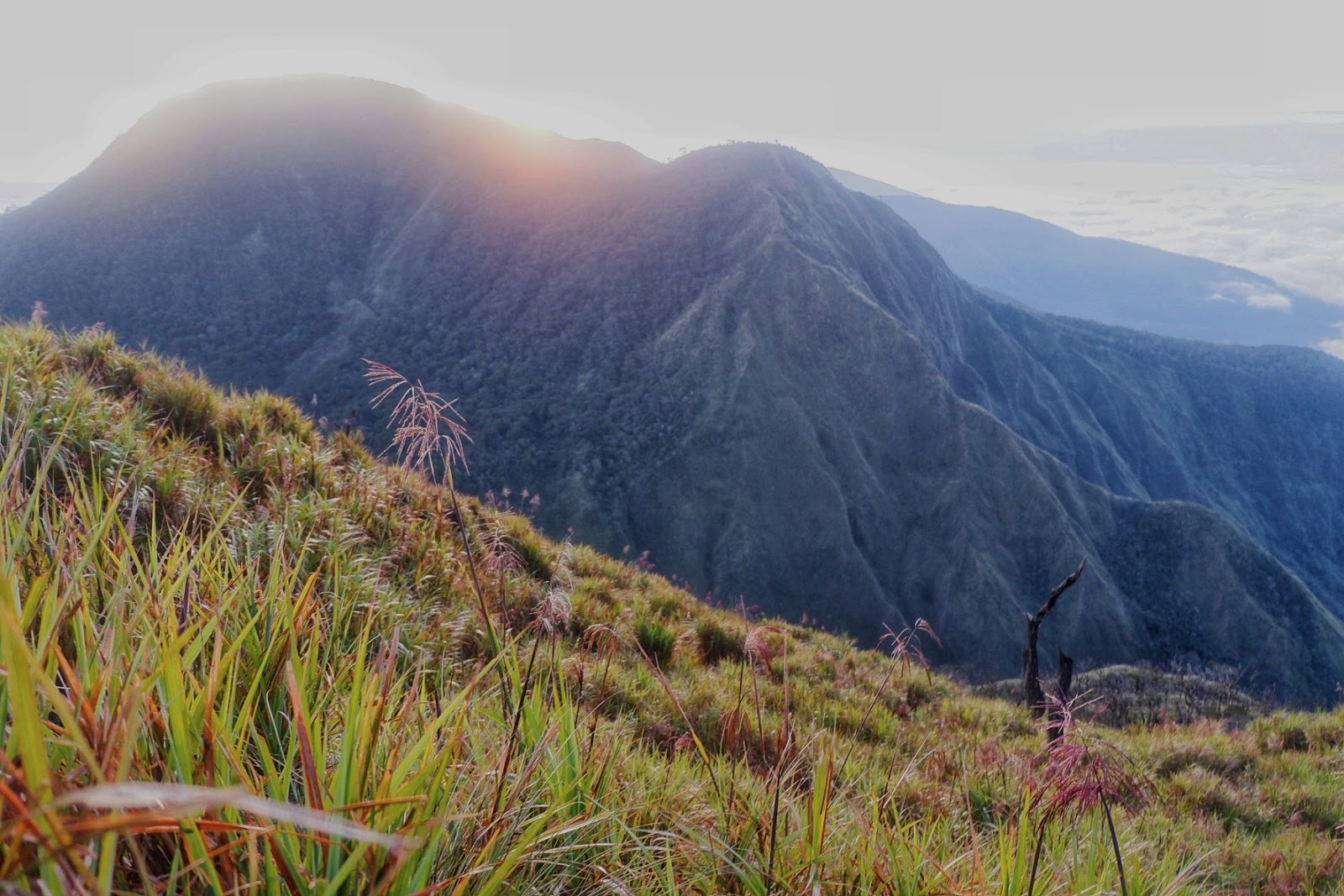
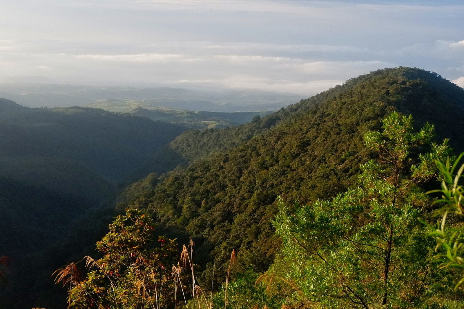
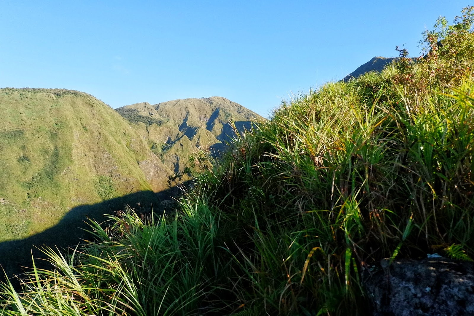
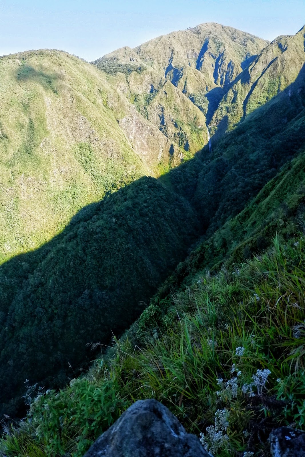
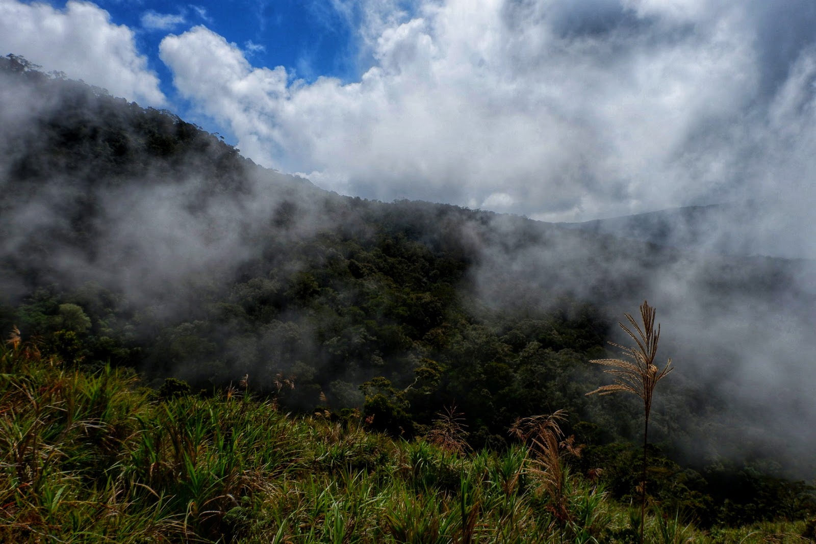
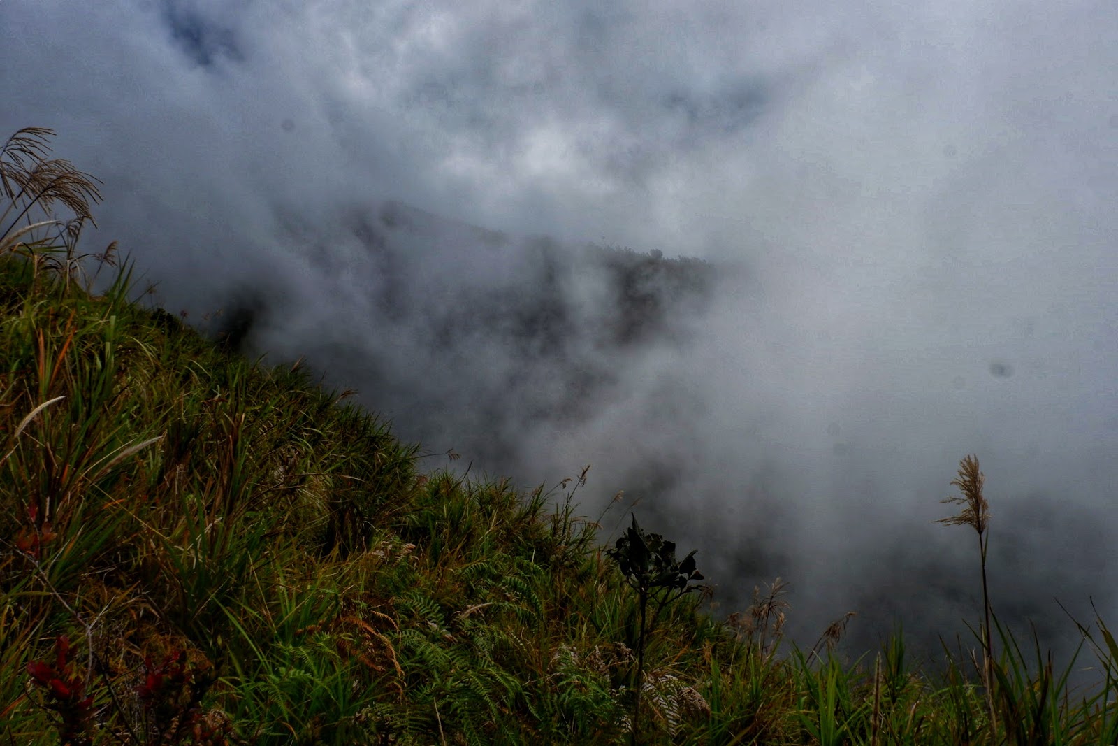
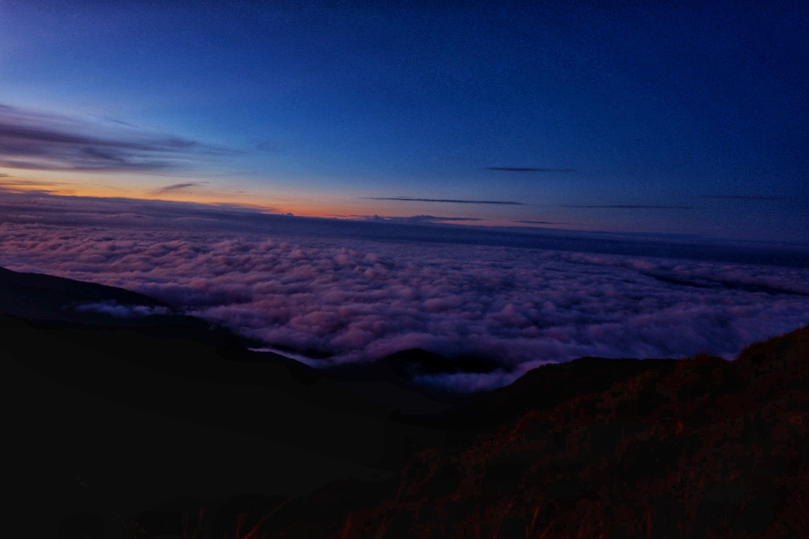
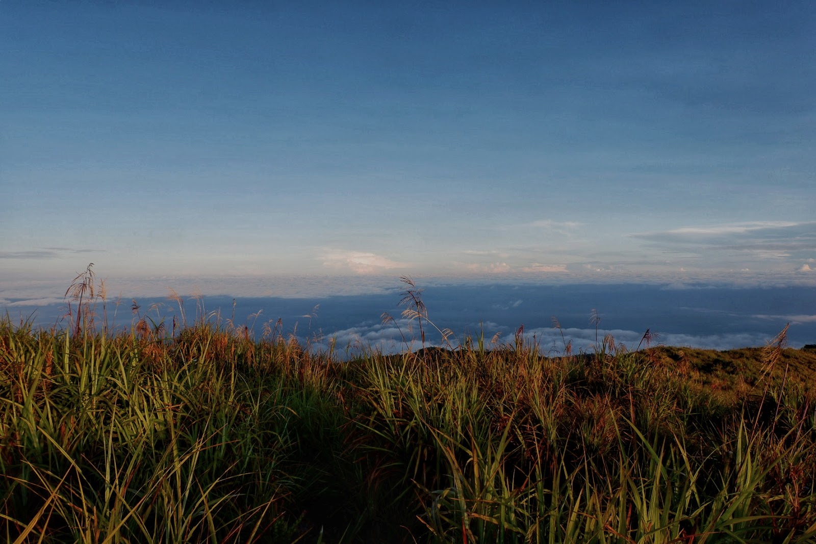
| Clouds-kissed mountain view |
 |
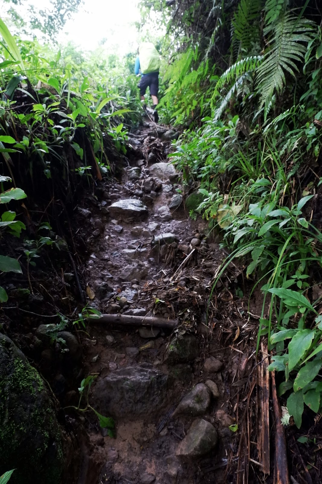
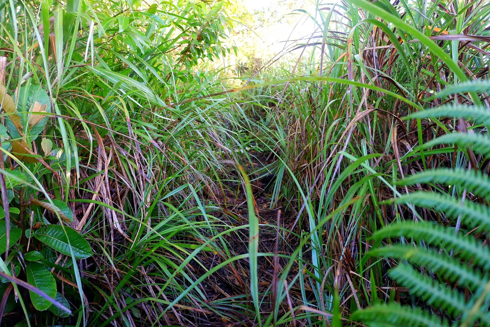
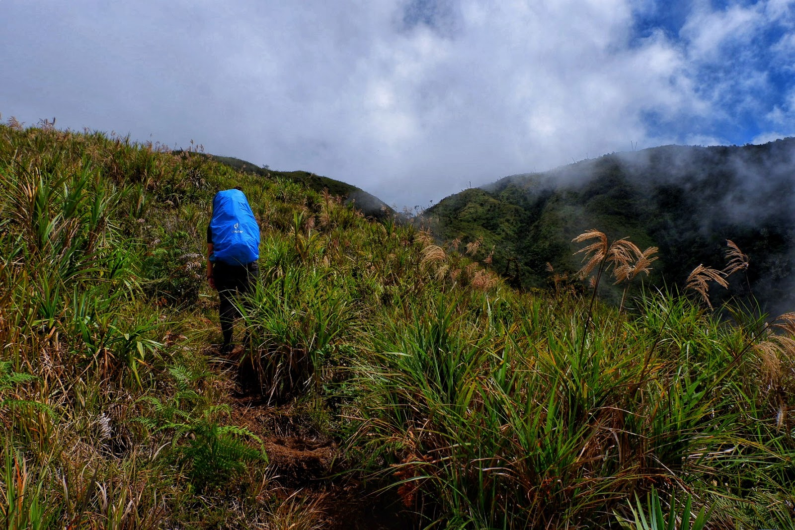
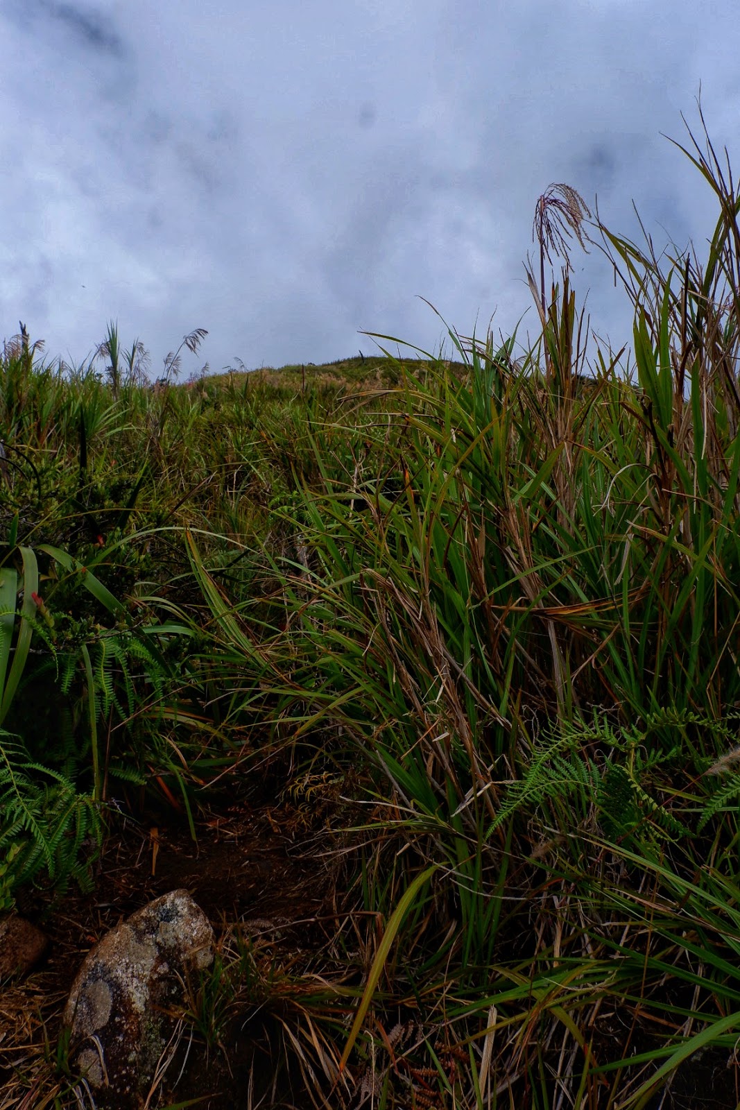
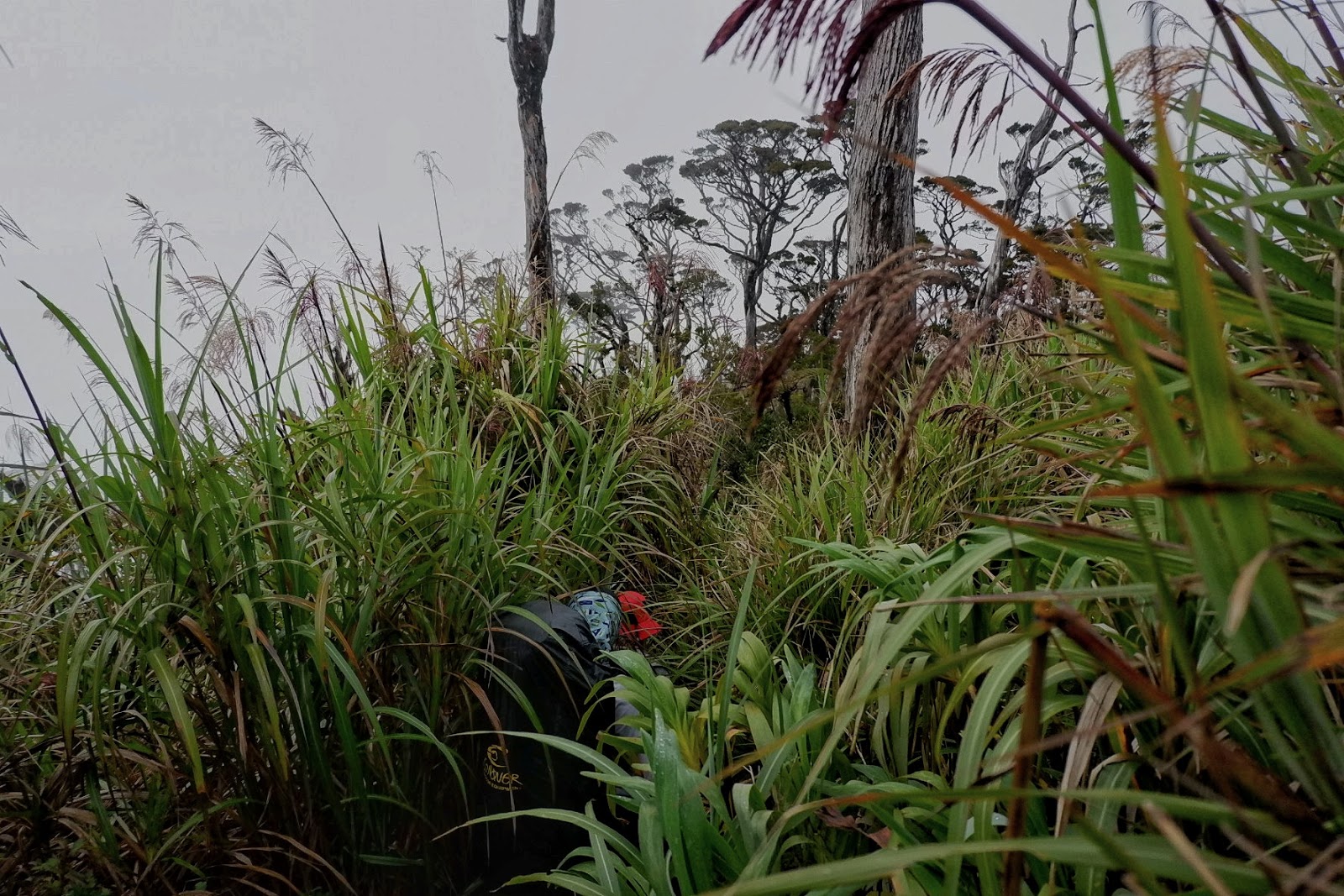
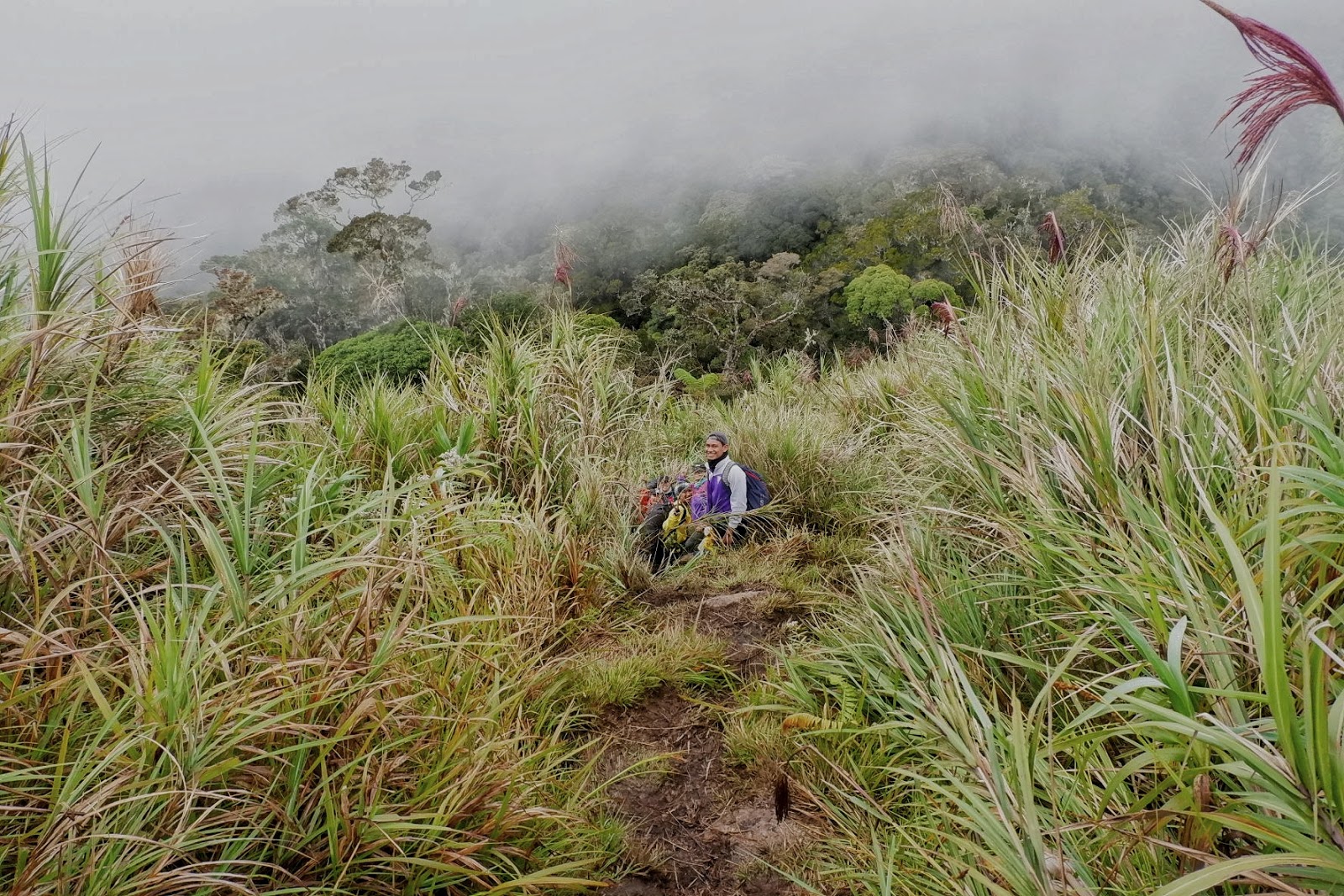
| Steeper trail |
 |
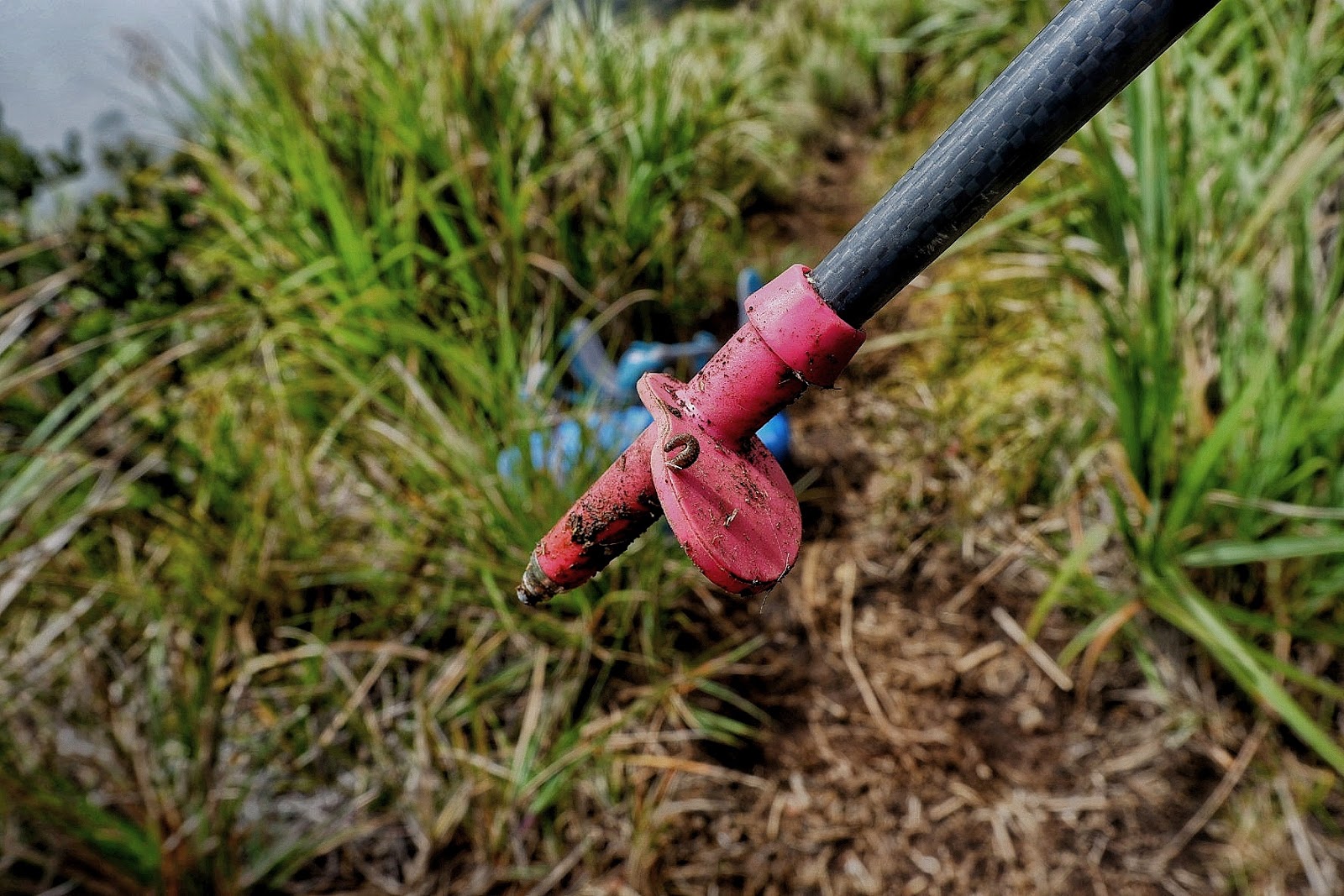
| While resting, a leech got stuck on my trekking pole. We decided not to stay that long in the resting area. |
 |
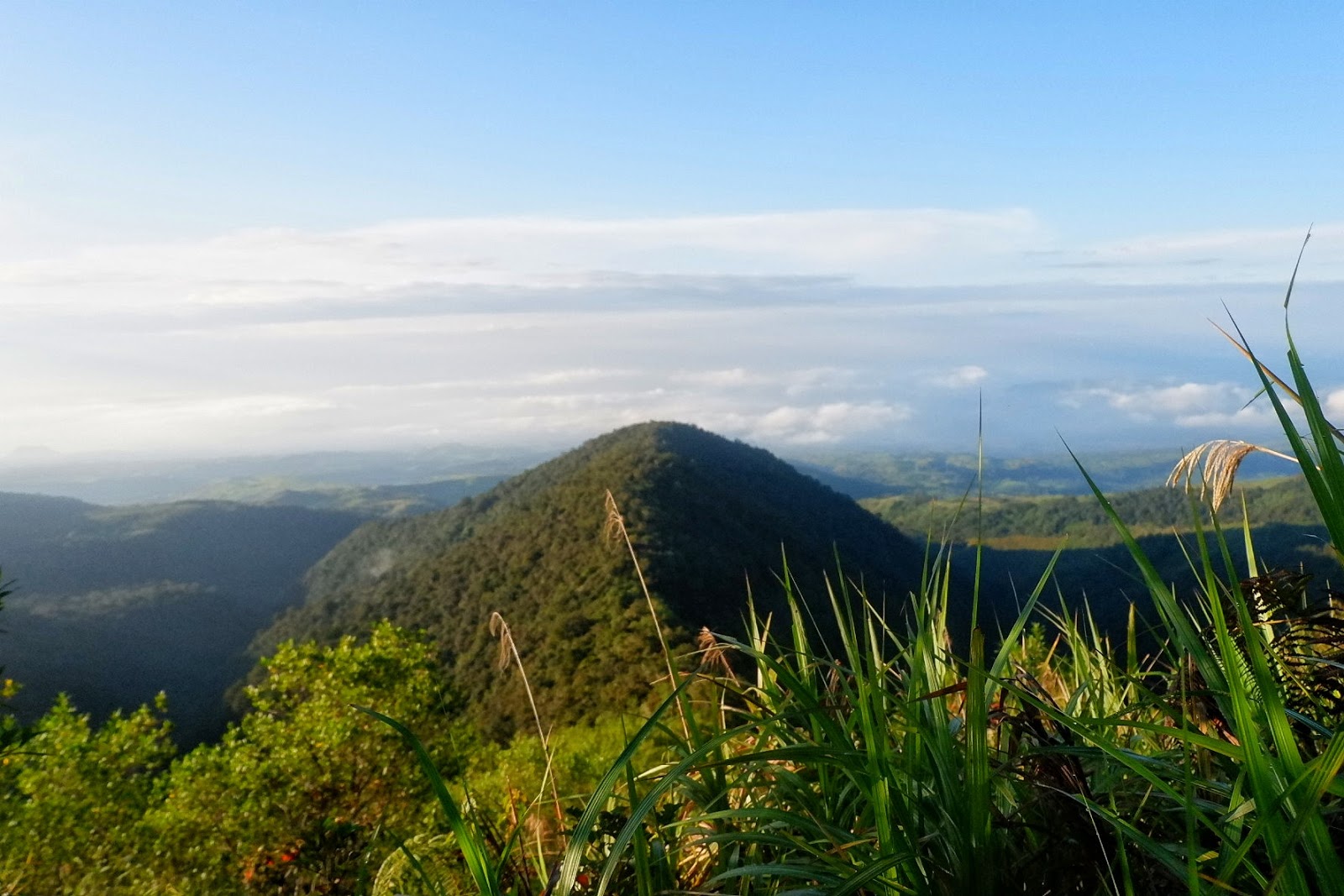
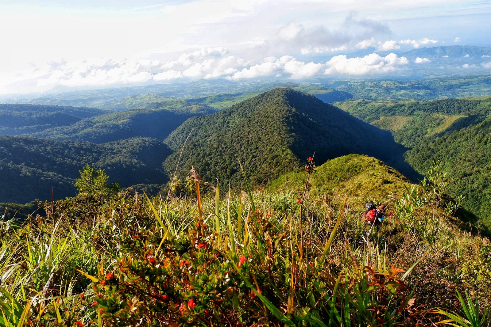
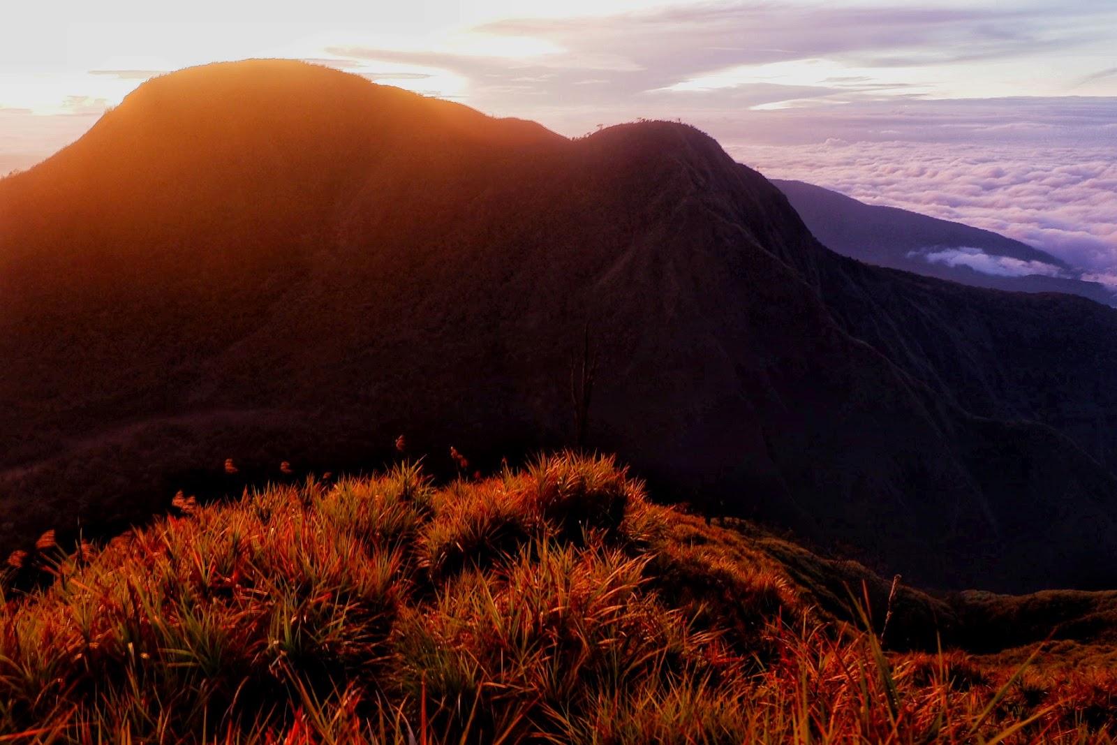
| The top looks promising but that’s not the end of the climb |
 |
| For settles from time to time |
 |
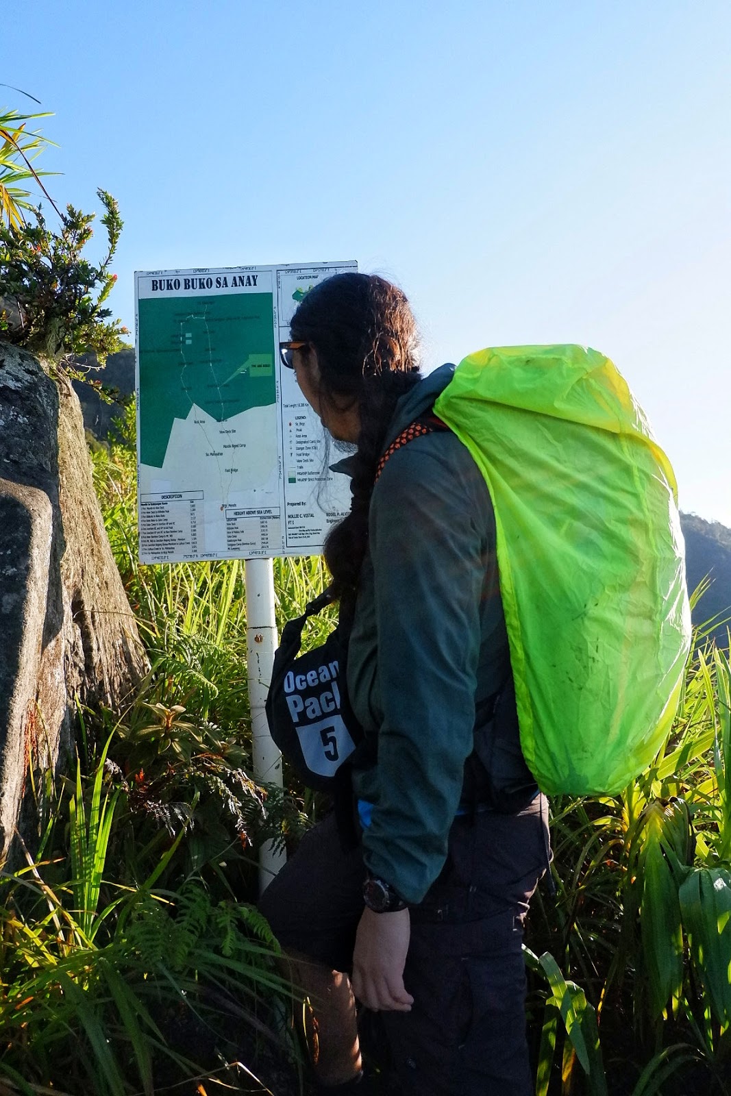
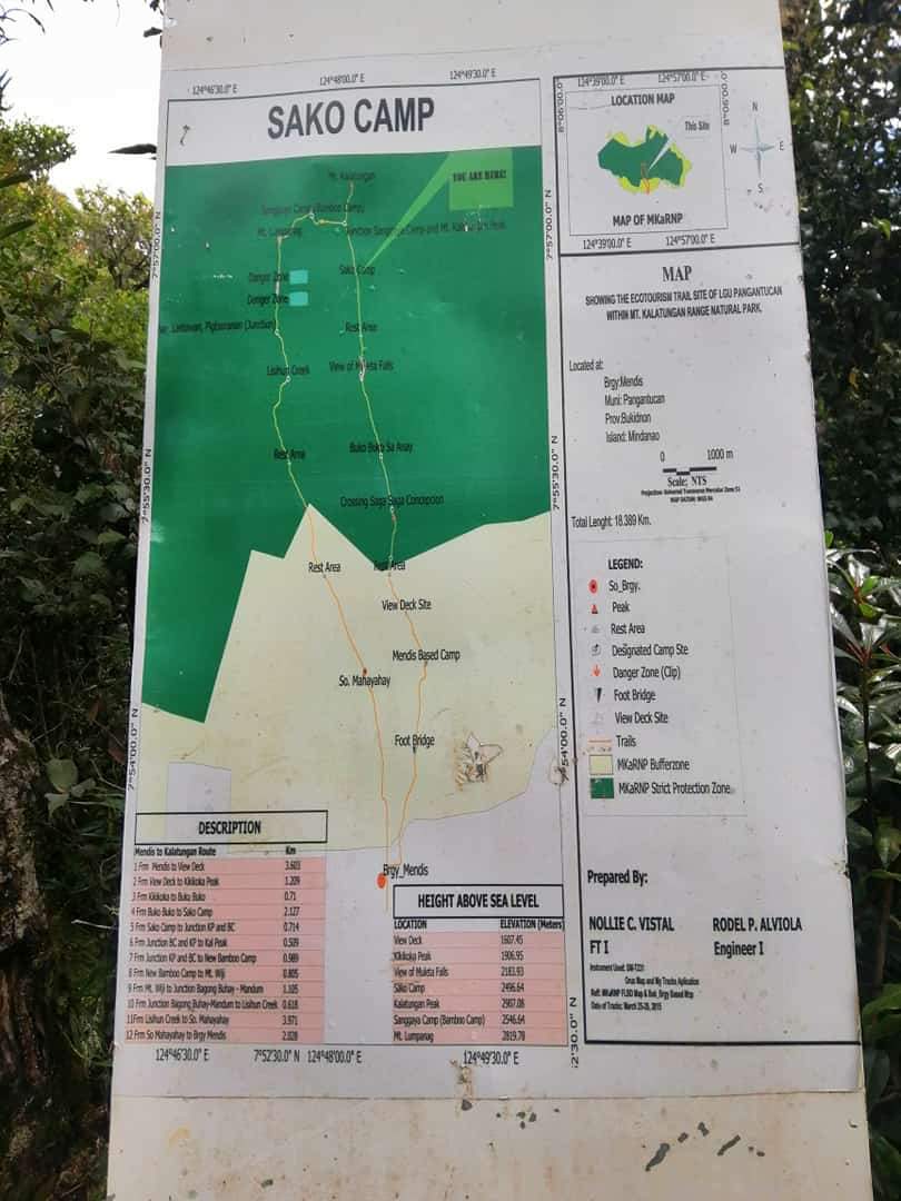
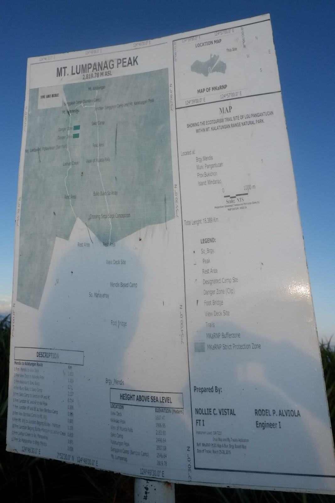
| Reaching Sako Camp 2496.64 MASL |
 |
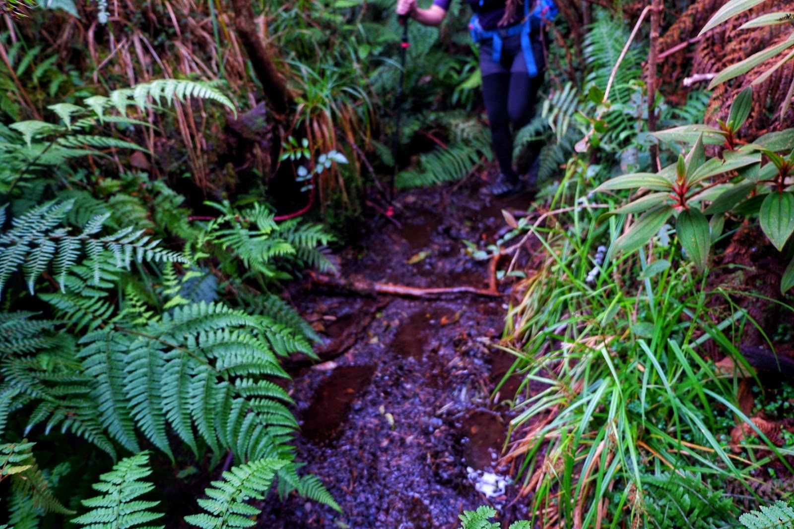
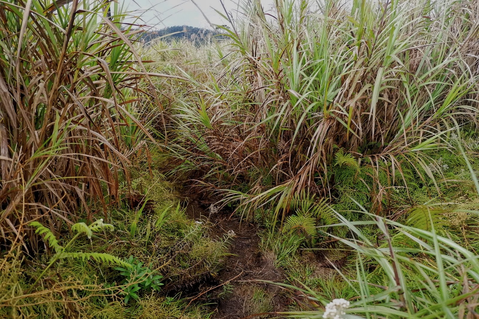
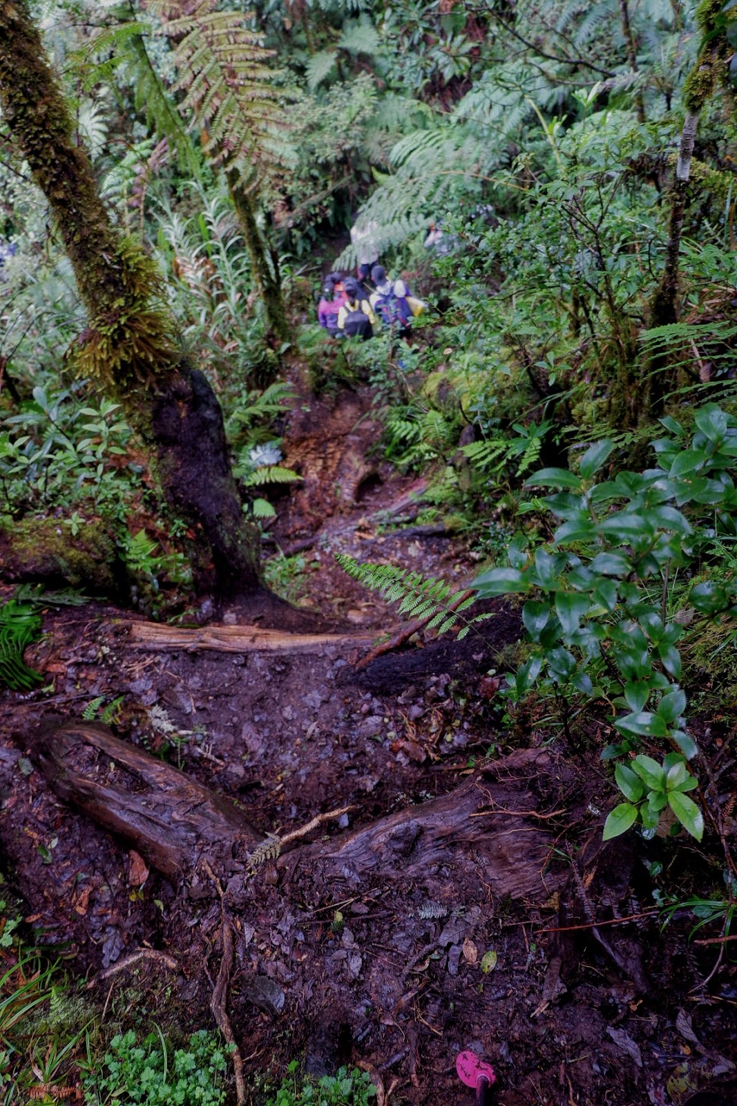
| Then there’s this muddy no escape trail. |
We passed by several mossy forests areas before arriving, at last, the junction. We left our bags and proceeded to the peak which was another 30-45 minutes climb. Unfortunately, when we reached the peak there was no clearing so we stayed briefly before descending back to the junction.
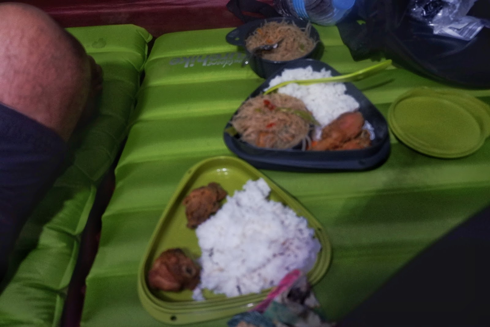
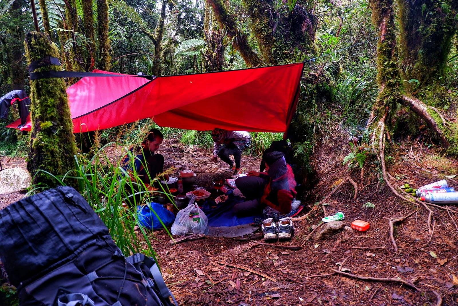
Food preparation was also done at the junction and we waited for the rest of the group before we took our lunch. Rain poured while we huddled below the red tarpaulin. At around 1:30 PM we decided to continue hiking to the bamboo campsite. We battled the slippery and muddy terrain because of the rain. We arrived at around 4 PM on the campsite.
 |
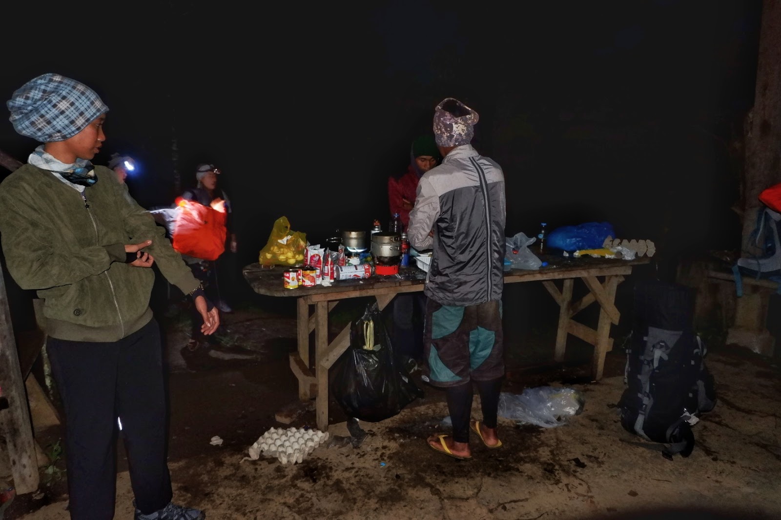
| At the Junction. Food preparation by our guide Sir Burn and the porters |
 |
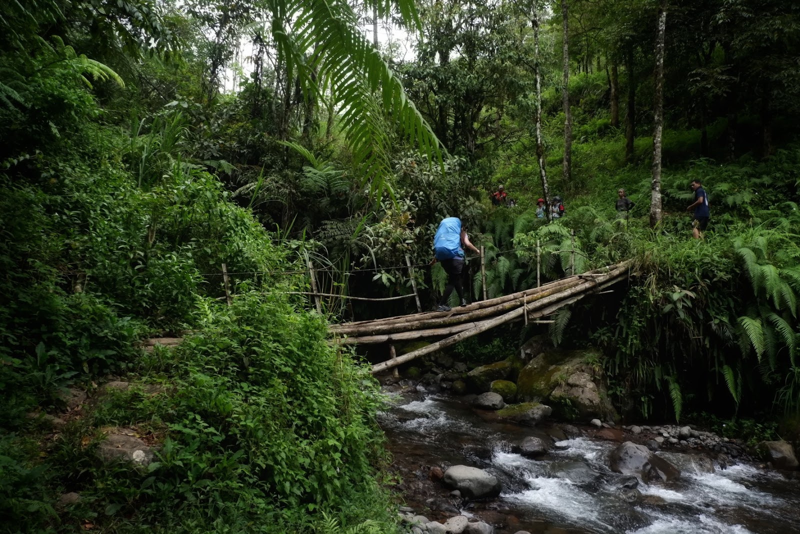
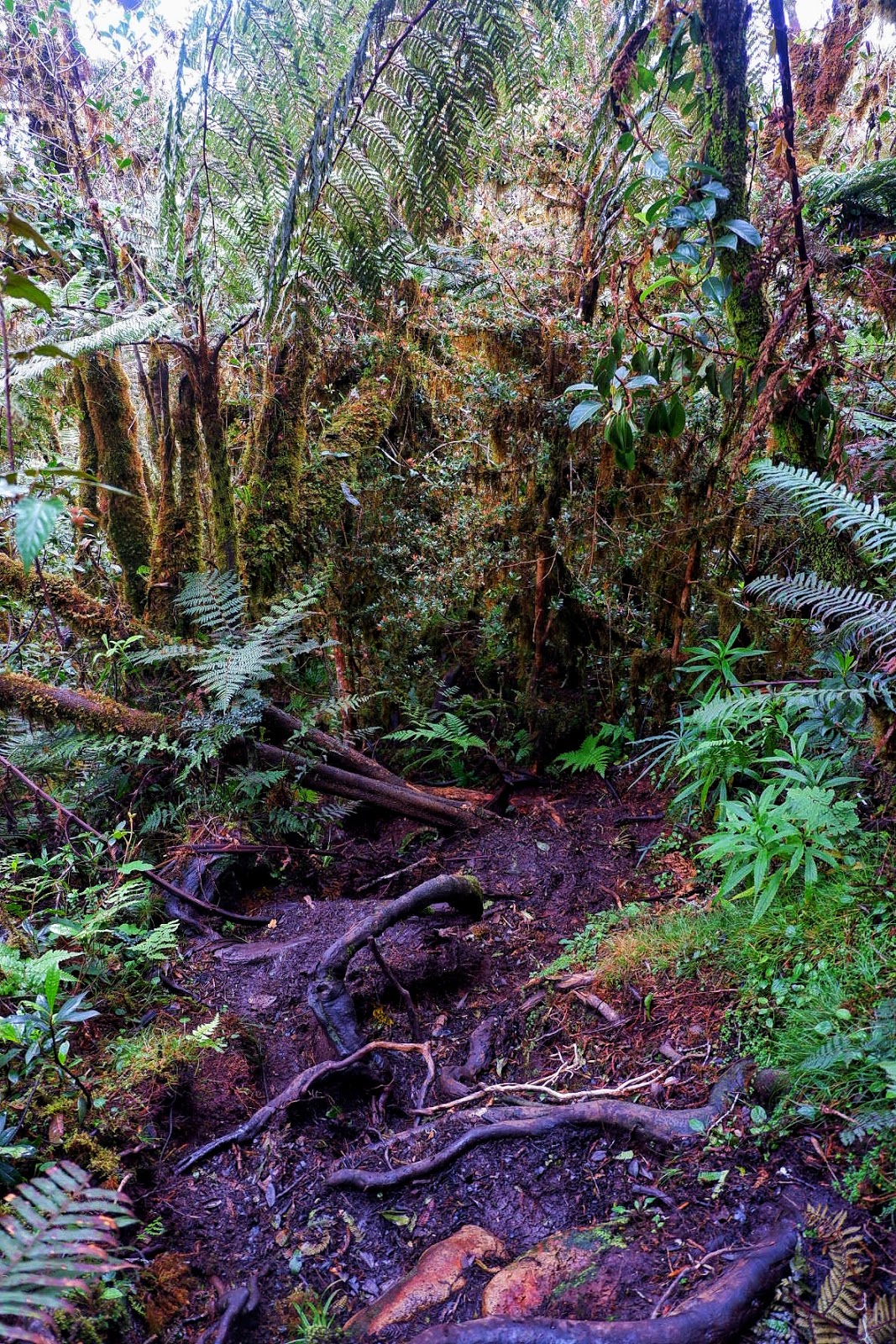
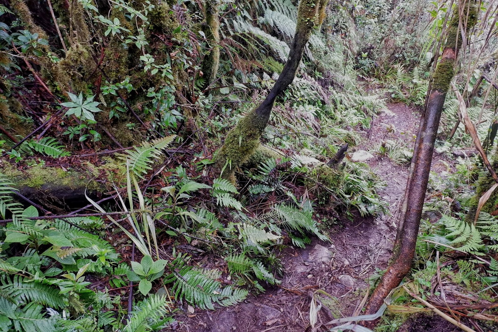
| Slippery trail laced with tree roots |
 |
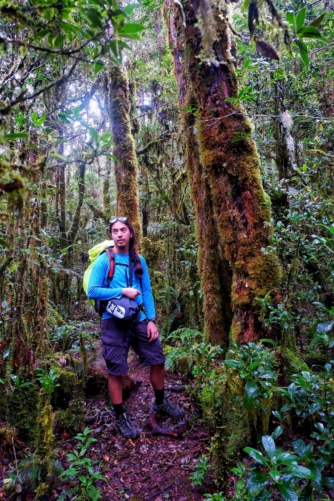
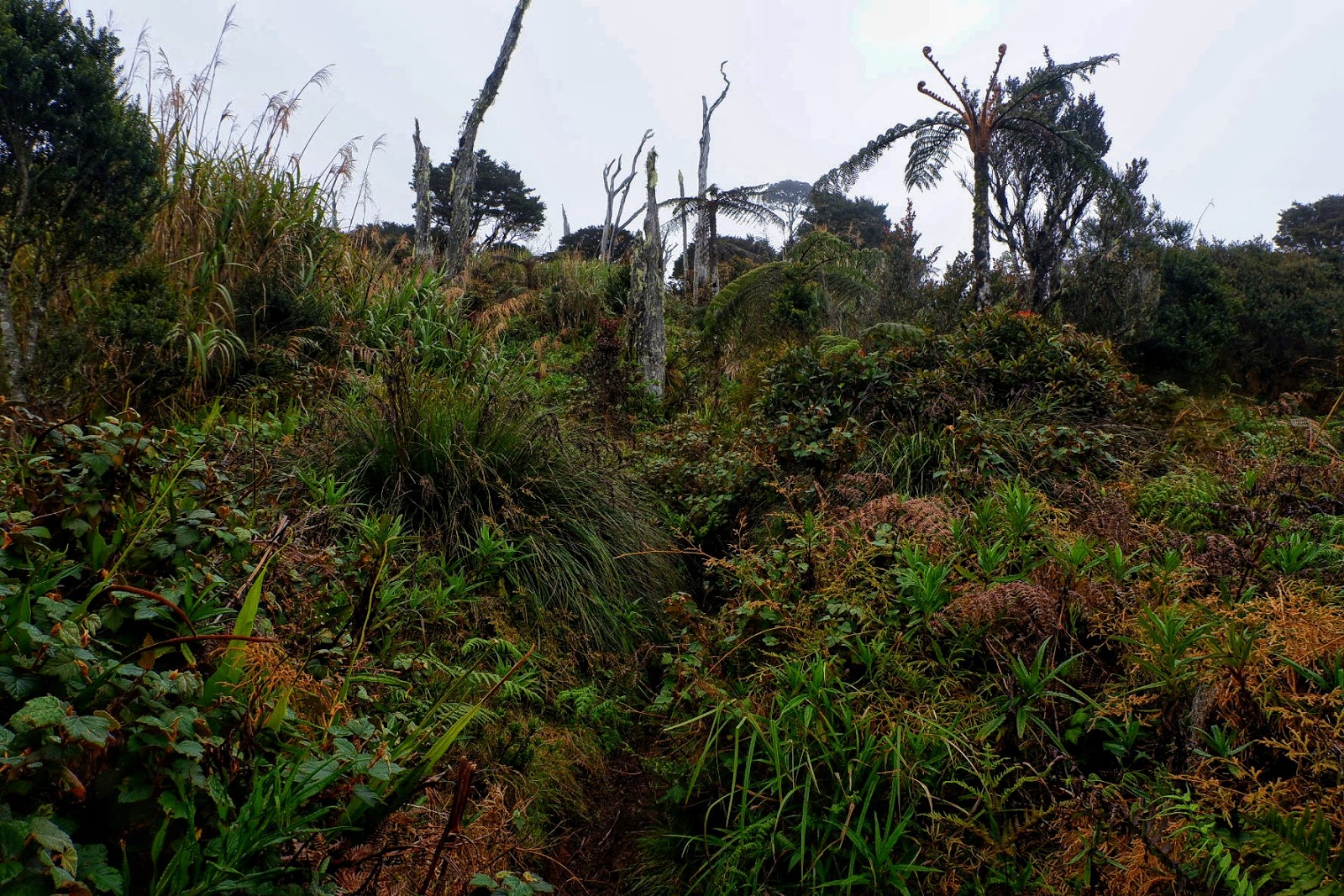
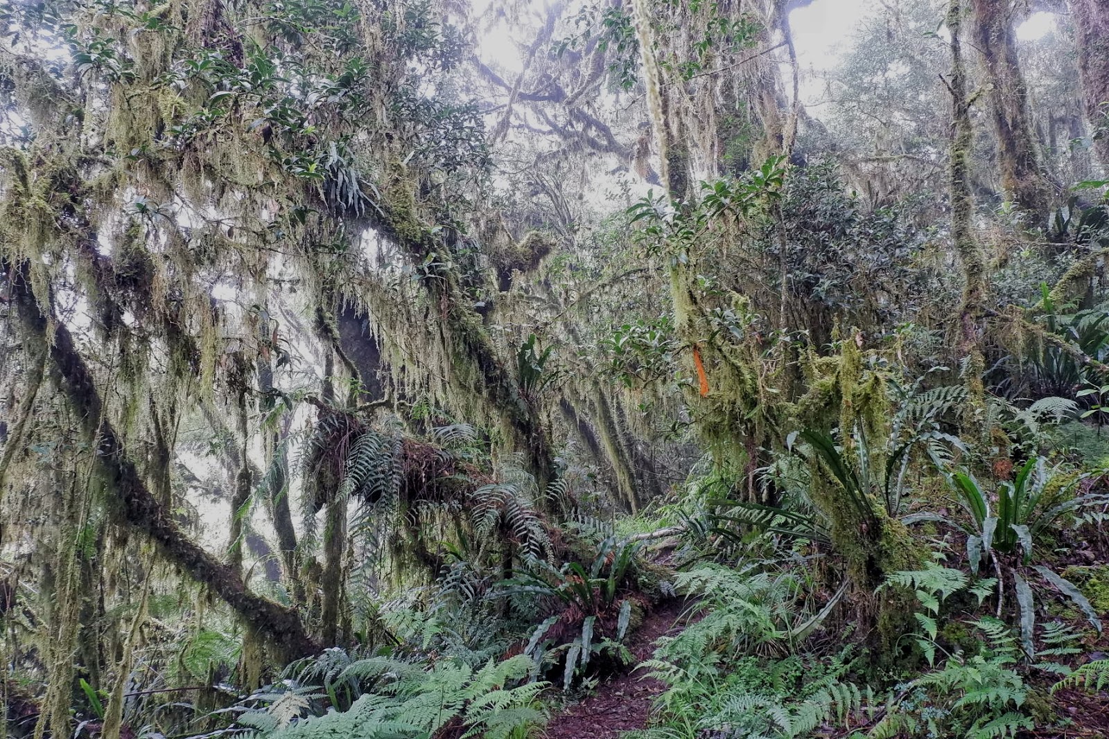
| An abundance of moss-covered trees |
 |
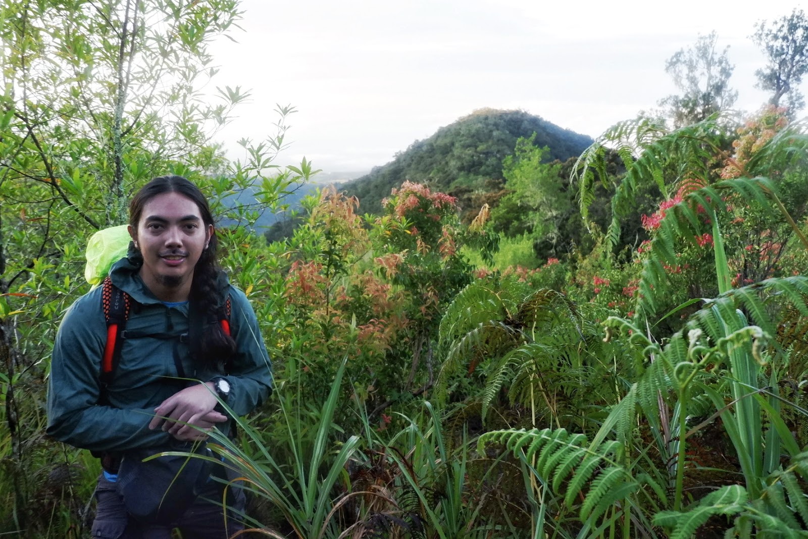
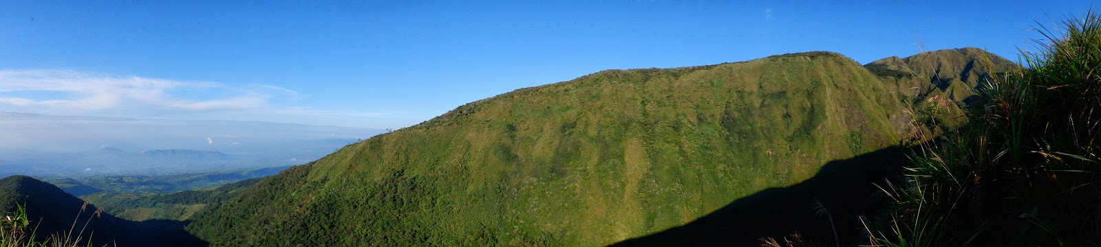
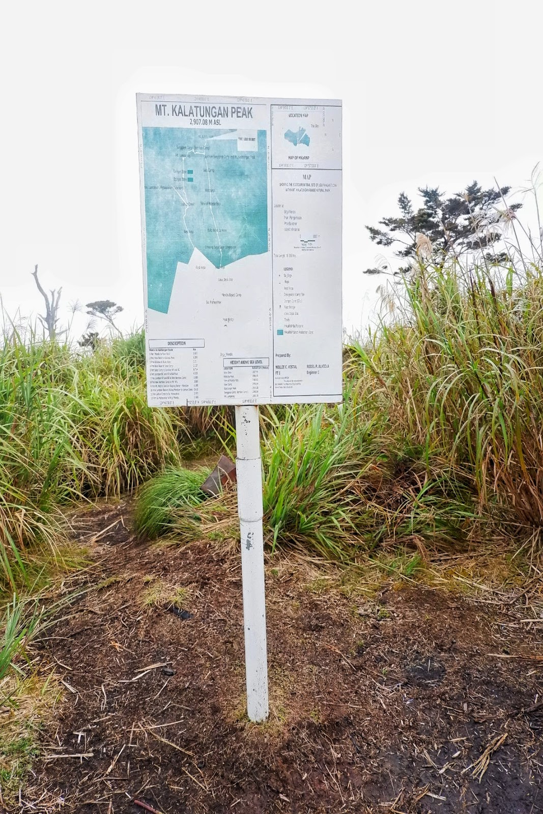
| Way to the Mt. Kalatungan Peak |
 |
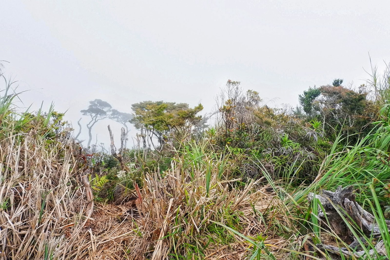
| Mt. Kalatungan peak, no clearing when we went there. |
 |
| Fog all over the mountain |
 |
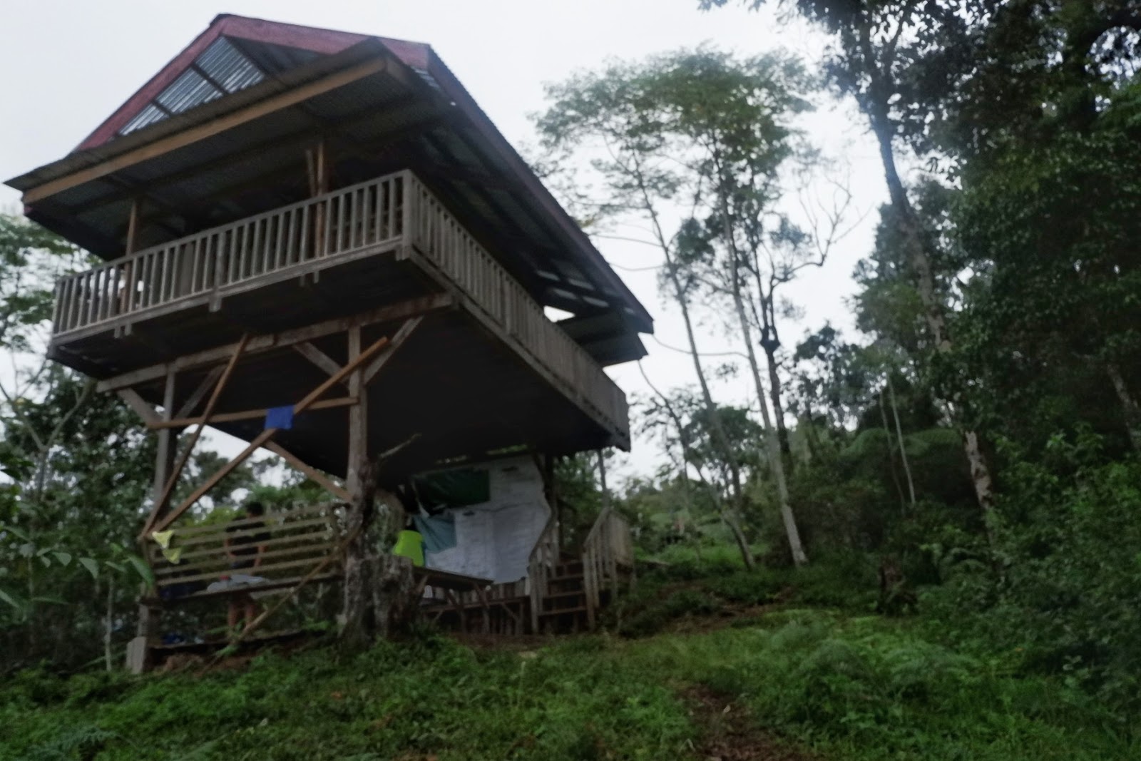
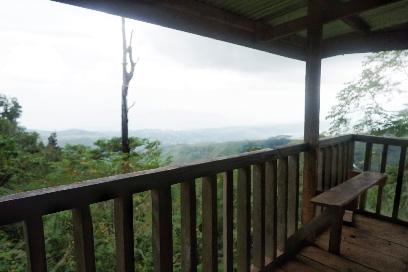
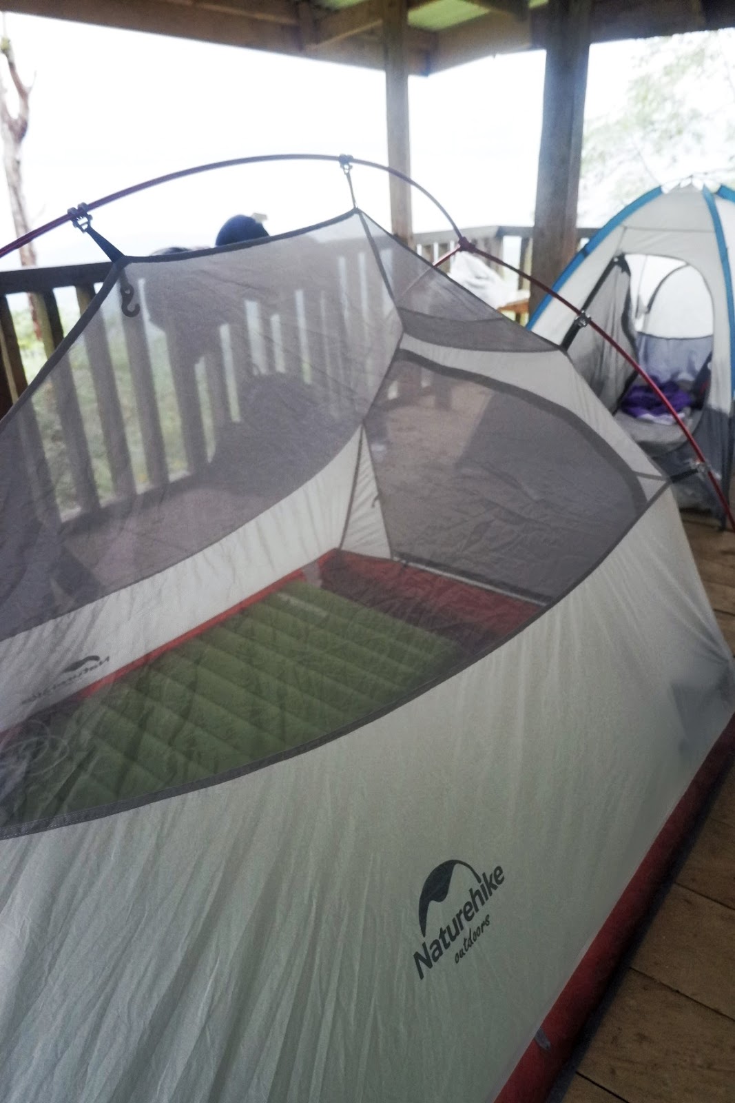
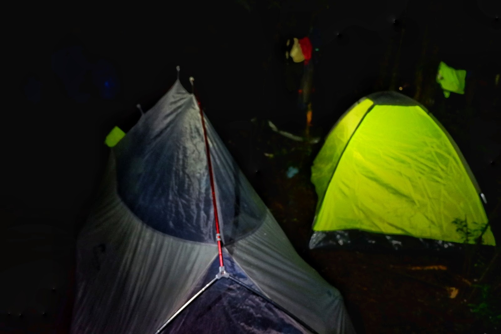
| Camping at the Bamboo campsite |
Day 3
Bamboo Camp-Mt Wiji Peak-Danger Zone-Lishun Creek-Brgy Mendis
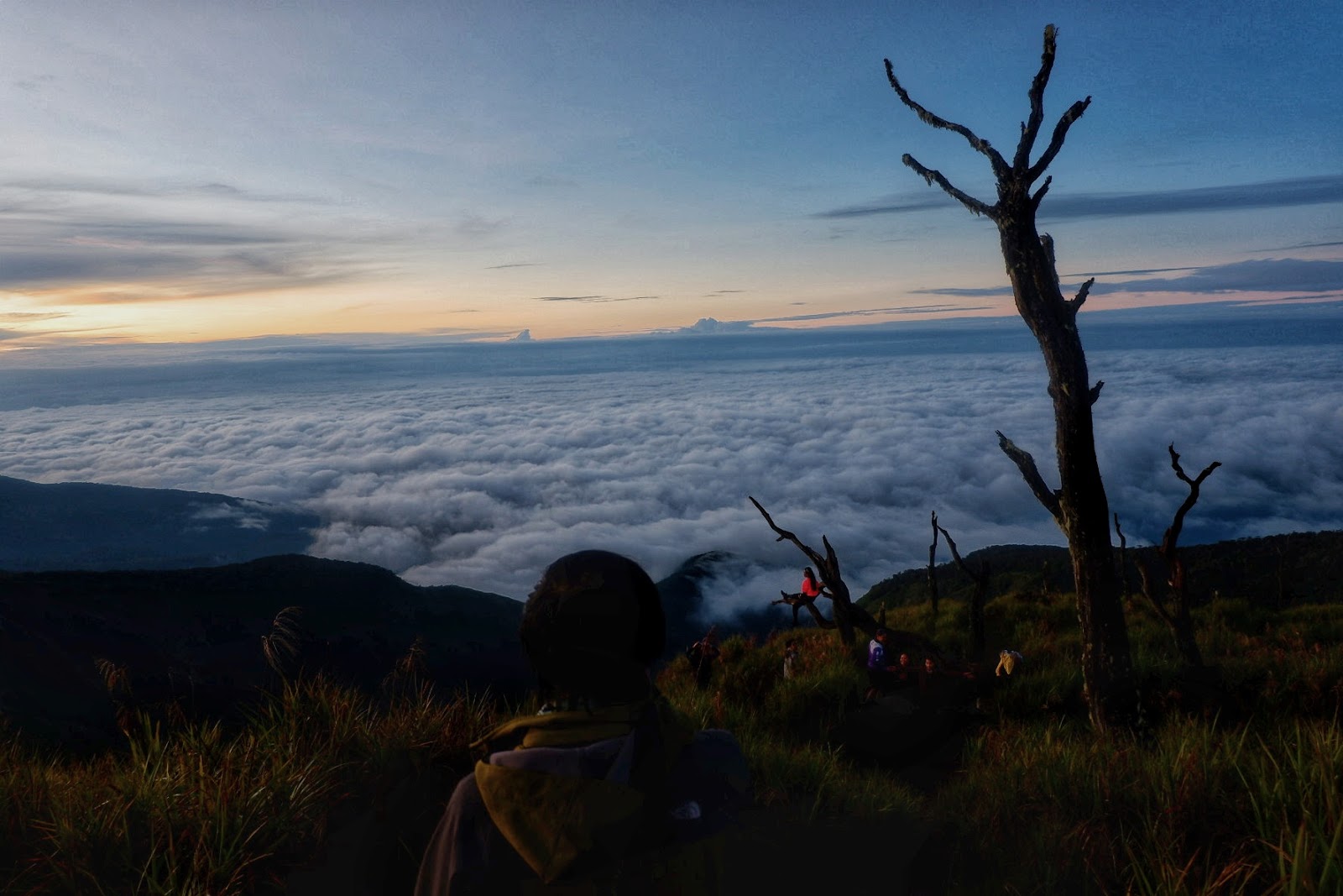
Another early start of the day on Day 3. It was difficult to move with the sharp cold trying to push us back to our tents. We, later on, realized how important starting off early was when we were at the peak of Mt. Wiji. The climb was all the way assault to Mt. Wiji Peak. Then came the morning sunrise and the silencing sea of clouds view, worth it all rewards.
 |
| Early morning hike to Mt. Lumpanag/Mt. Wiji |
 |
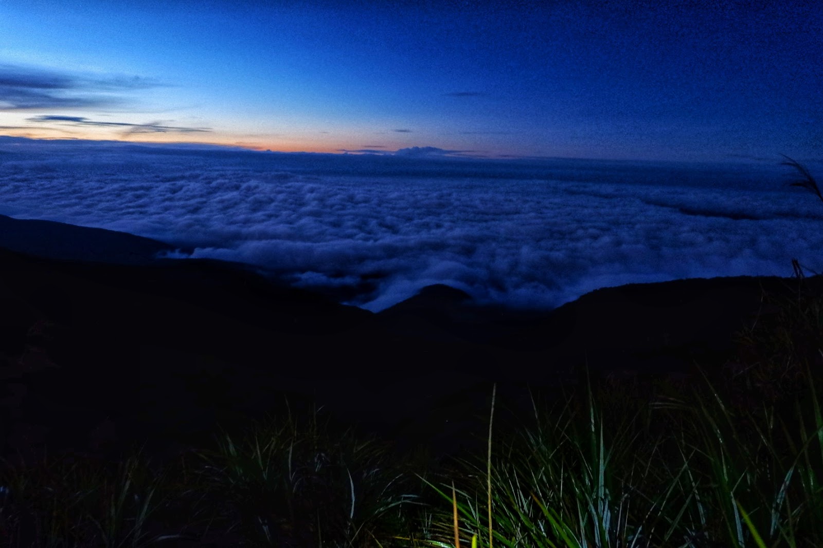
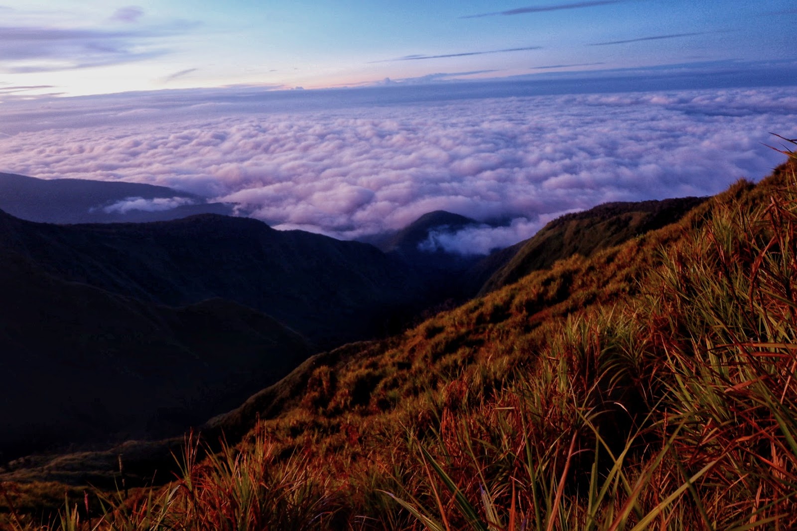
| Heaven on earth sea of clouds view |
 |
| Sea of clouds everywhere |
 |
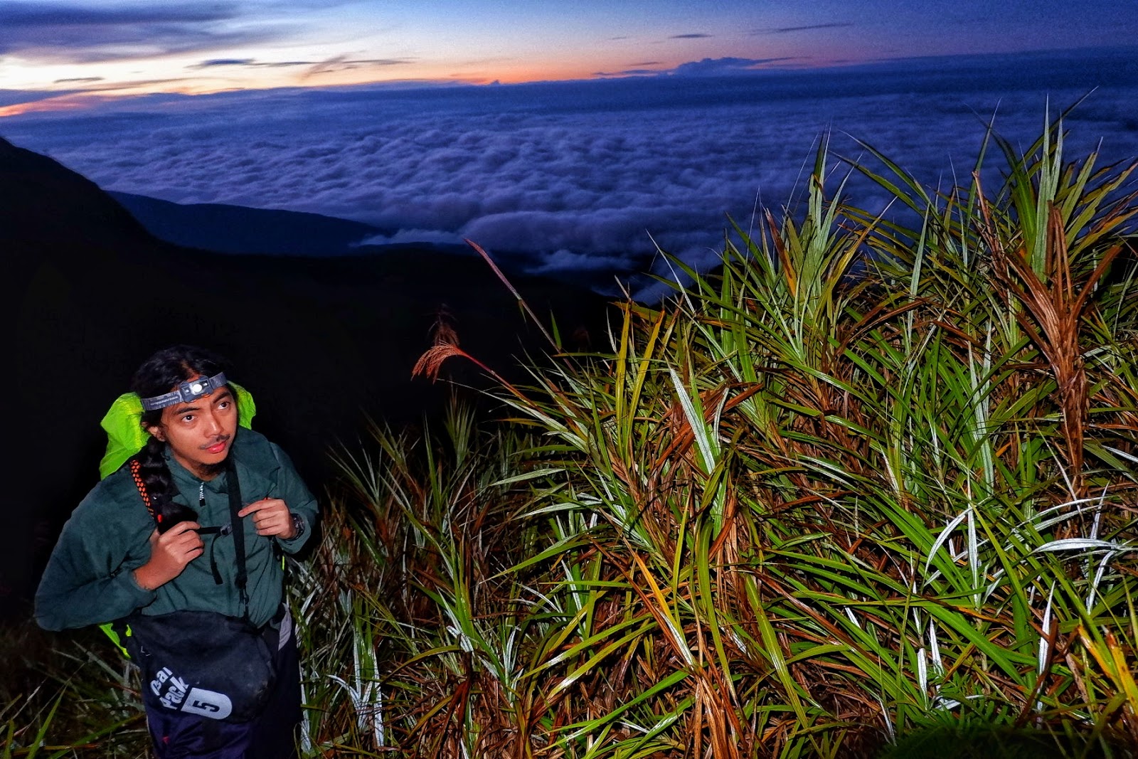
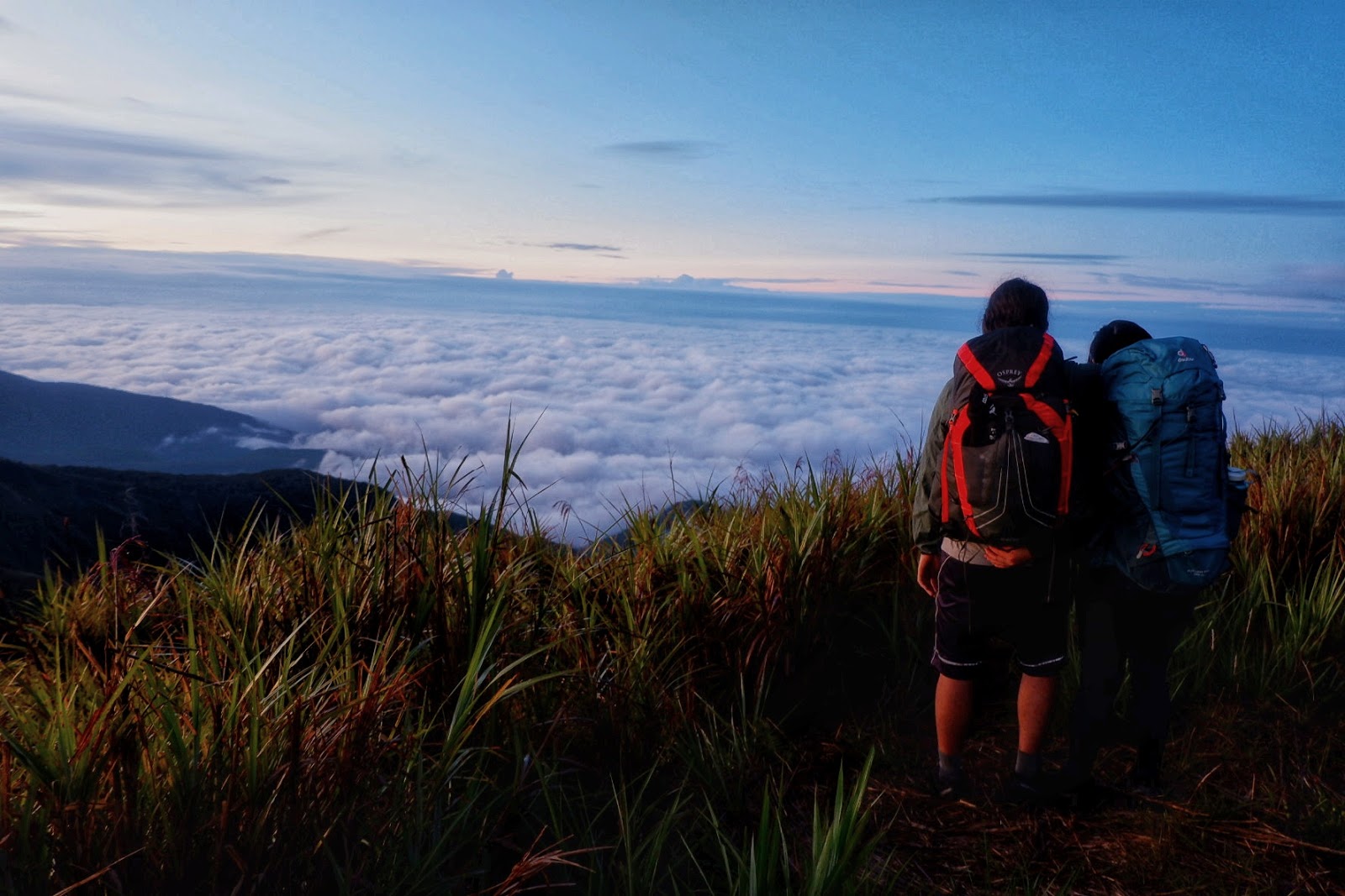
| A quick stop to enjoy the moment |
 |
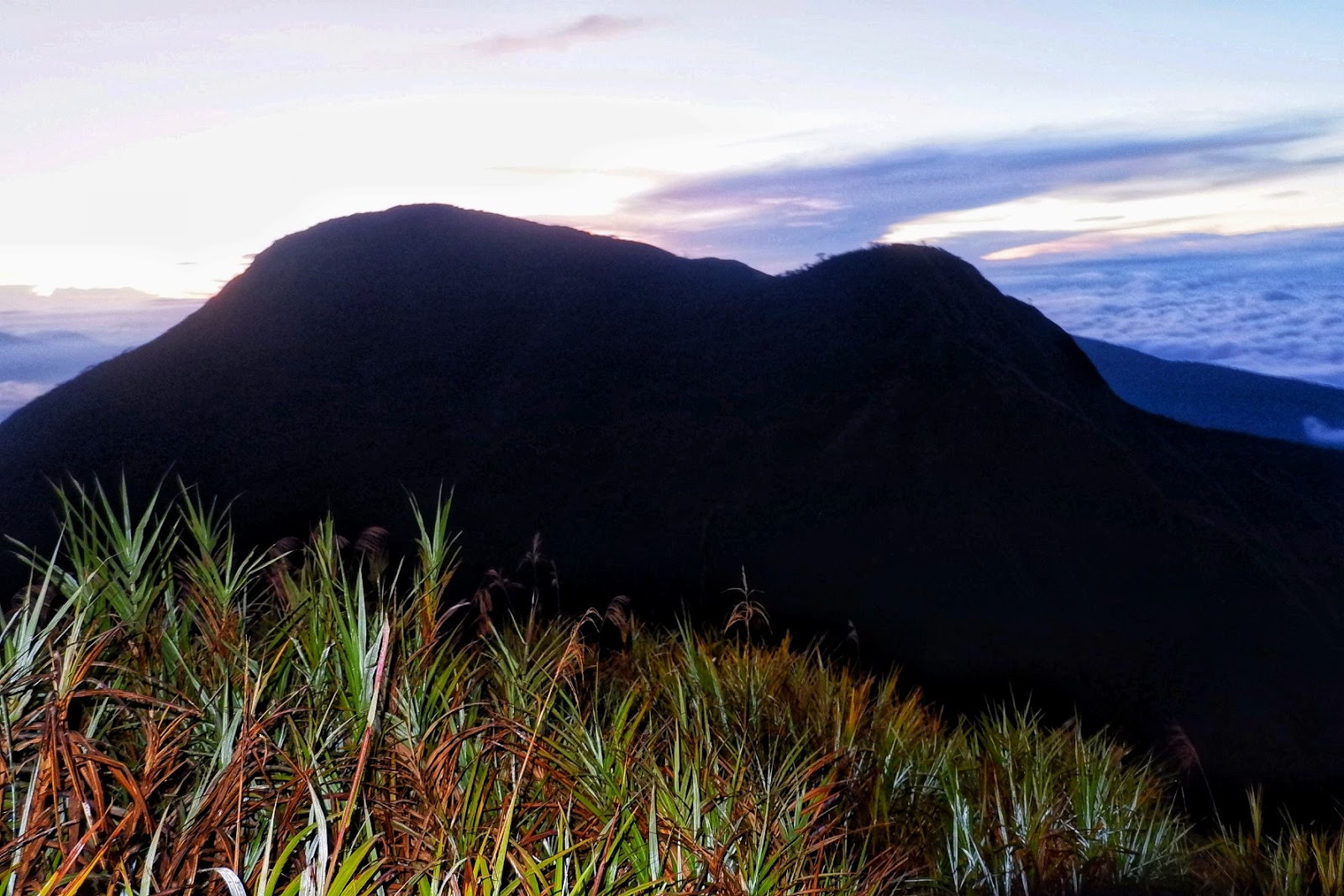
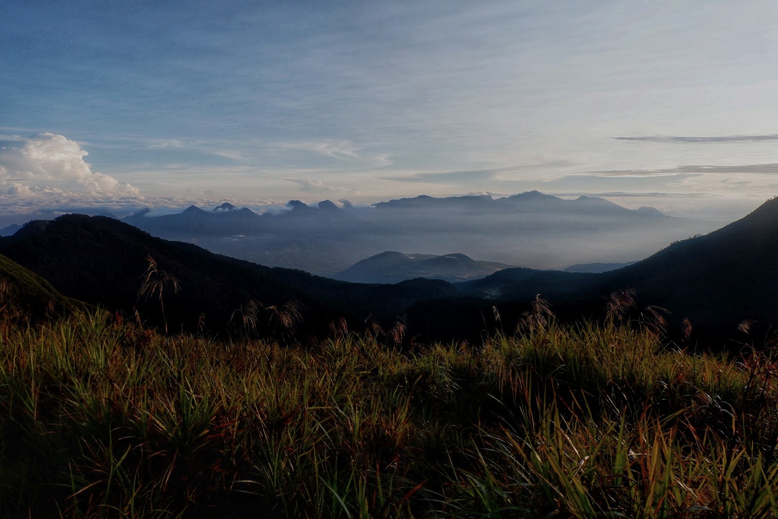
| Mt. Kalatungan’s silhouette |
 |
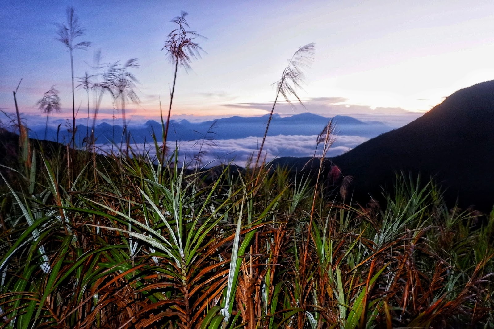
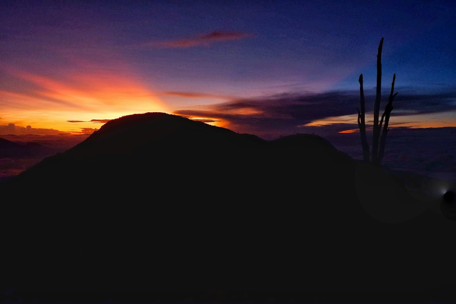
| Sunrise hues adorning the surroundings |
 |
| Sunrise ready |
 |
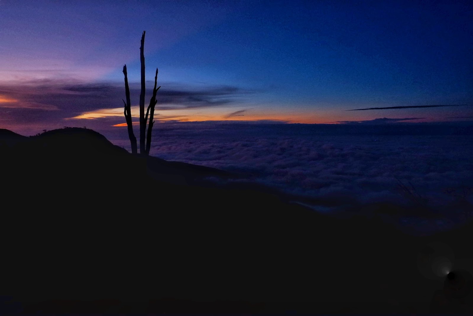
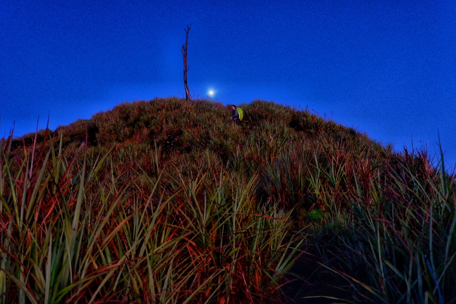
| The moon, like a lamp post guiding you to the peak |
 |
| Enjoying the view |
 |
| More pictures |
 |
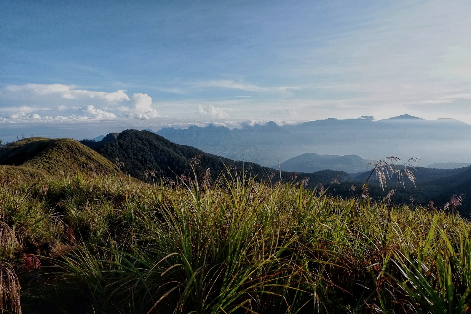
| Mt. Kalatungan staring to unveil its beauty |
 |
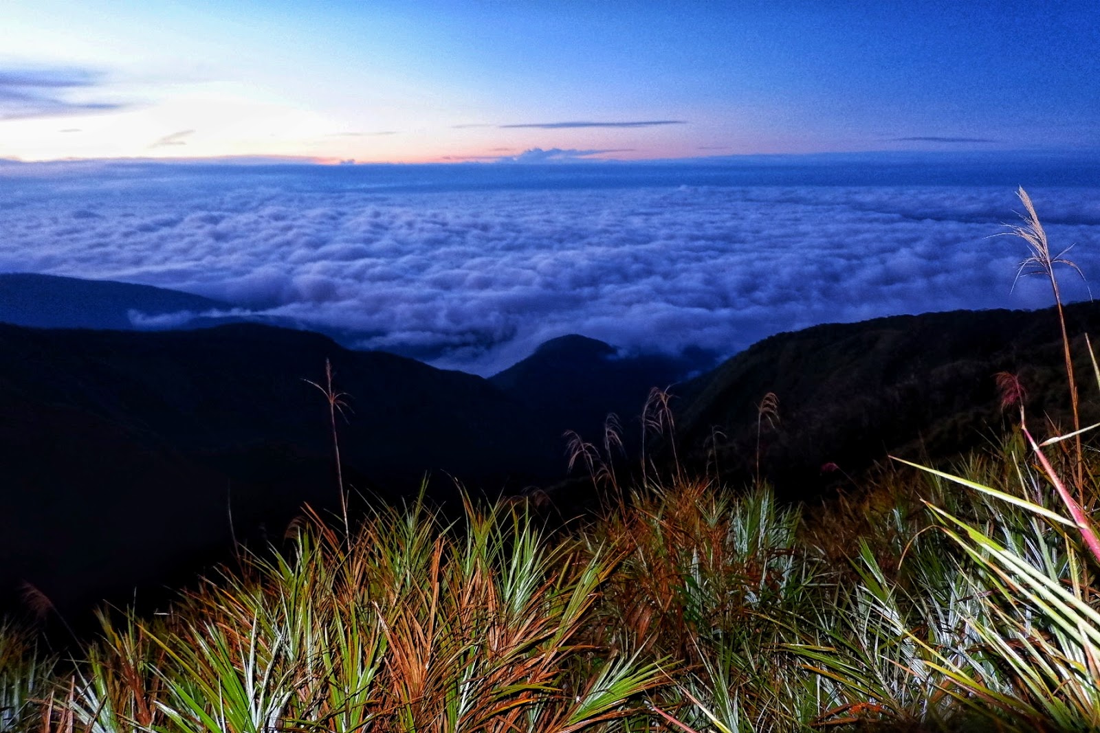
| Sea of clouds getting clearer |
 |
| A quick picture of us |
 |
| Mt. Lumpanag aka Mt Wiji Peak |
 |
| Famous tree in Wiji |
 |
| Sea of clouds slowly dissipating |
 |
| Good weather at the top |
We were all lucky to be blessed with good weather while at the peak of Mt. Wiji. The blinding sunlight rays provided warmth while we ate our breakfast merrily. We started to descend at around 8:30 AM. We were to pass by two danger zones, two resting areas, Lishun creek (water source) then to Sitio Mahayahay, and at last the exit point which was also the entry point, Brgy Mendis.
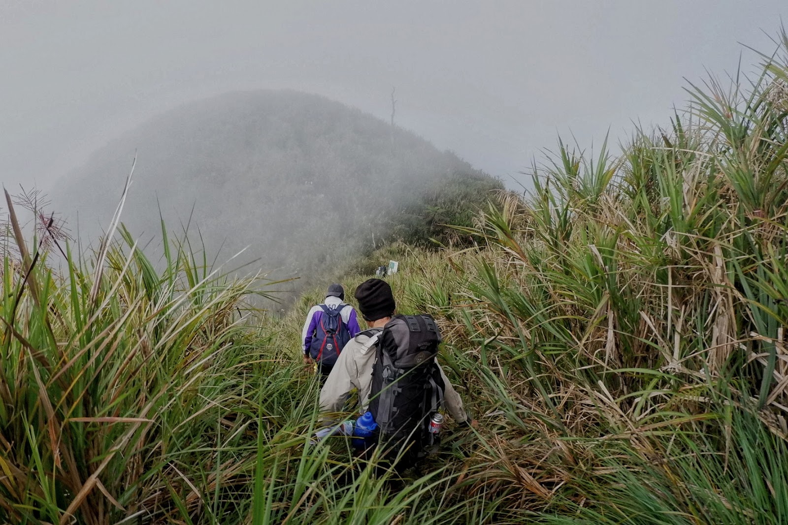
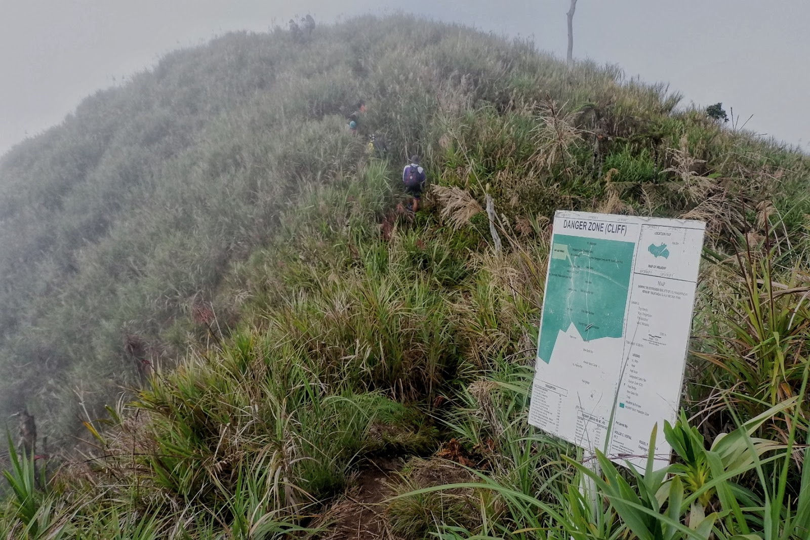
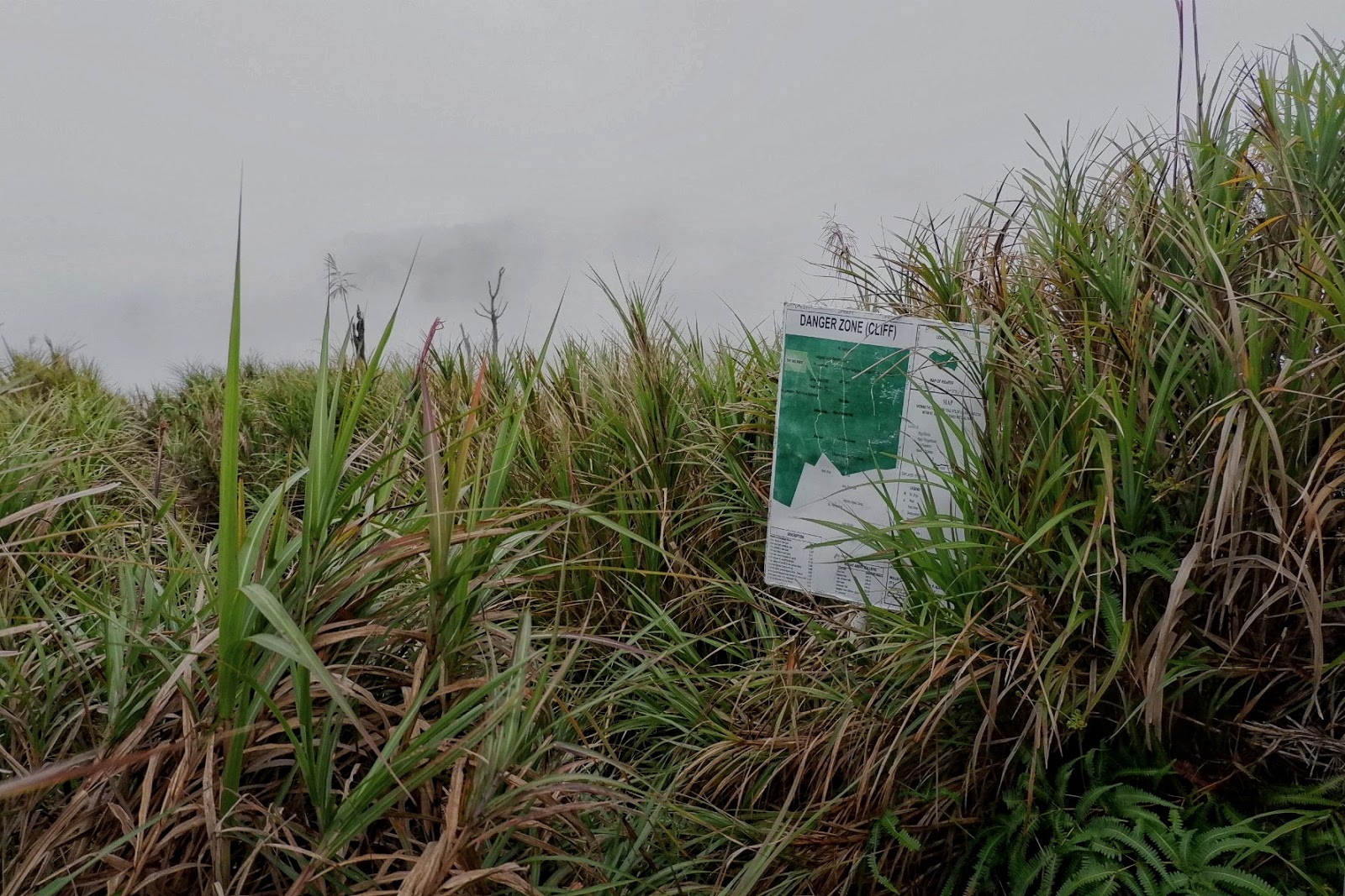
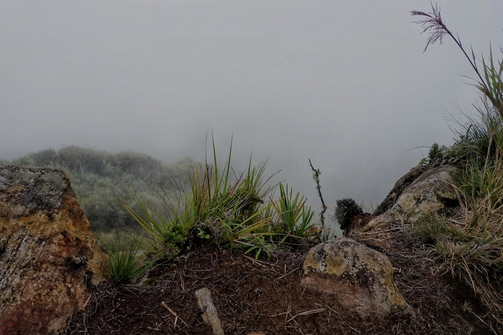
The danger zone areas are knife-edge like areas. When we passed by, cliffs on both sides of the trail were covered by fog masking what’s supposed to be a dizzying view from up above.
The rest of the trail was mostly roots, mud, and rocks laden.
 |
| Starting the descend |
 |
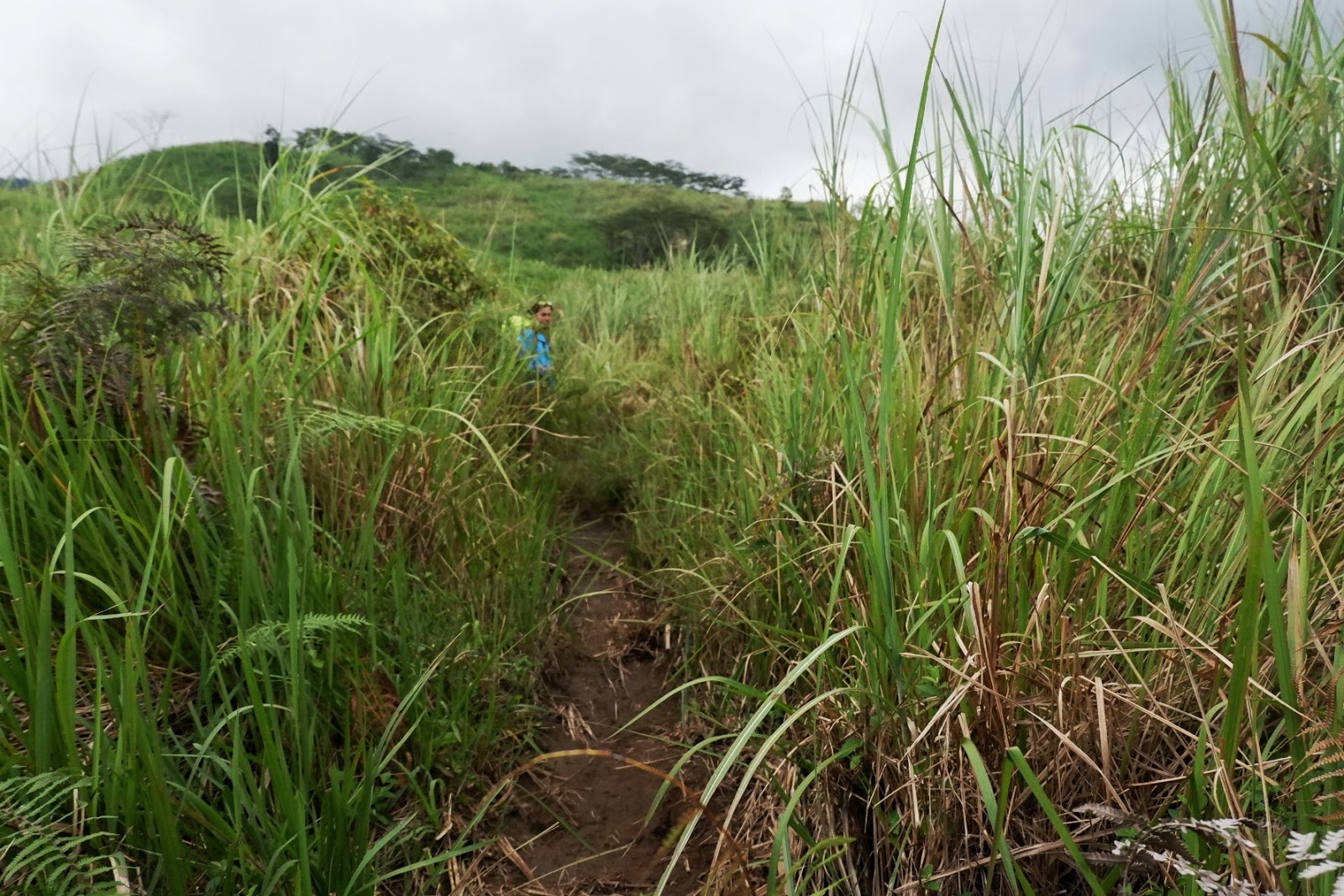
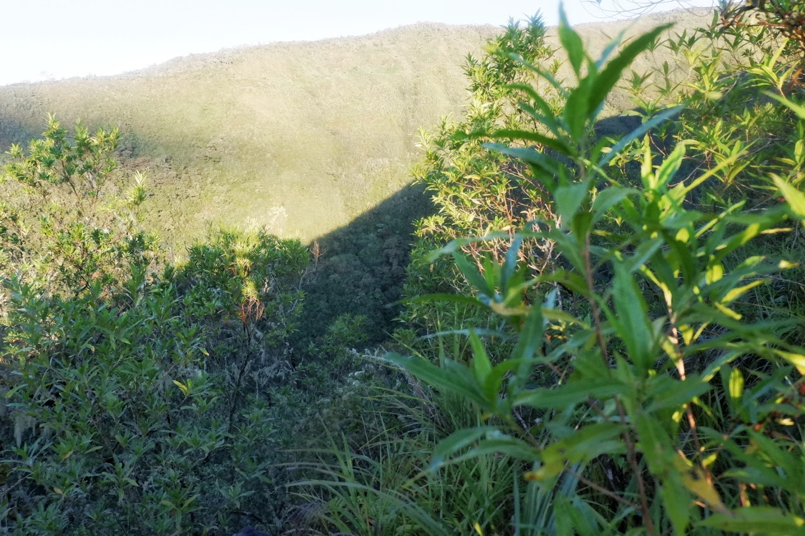
| The descent was full of cogon grasses and muddy trail |
 |
| Fog covered view below |
 |
| Still with the enchanting mossy forest |
 |
| Unto the danger zone (Knife’s edge) |
 |
| Passing by the danger zone |
 |
| Another danger zone |
 |
| Careful steps to prevent a dangerous plunge on the awaiting abyss |
 |
| Another mossy forest |
 |
| Muddy, rain kissed- path |
 |
| Beauty fit for the Gods |
 |
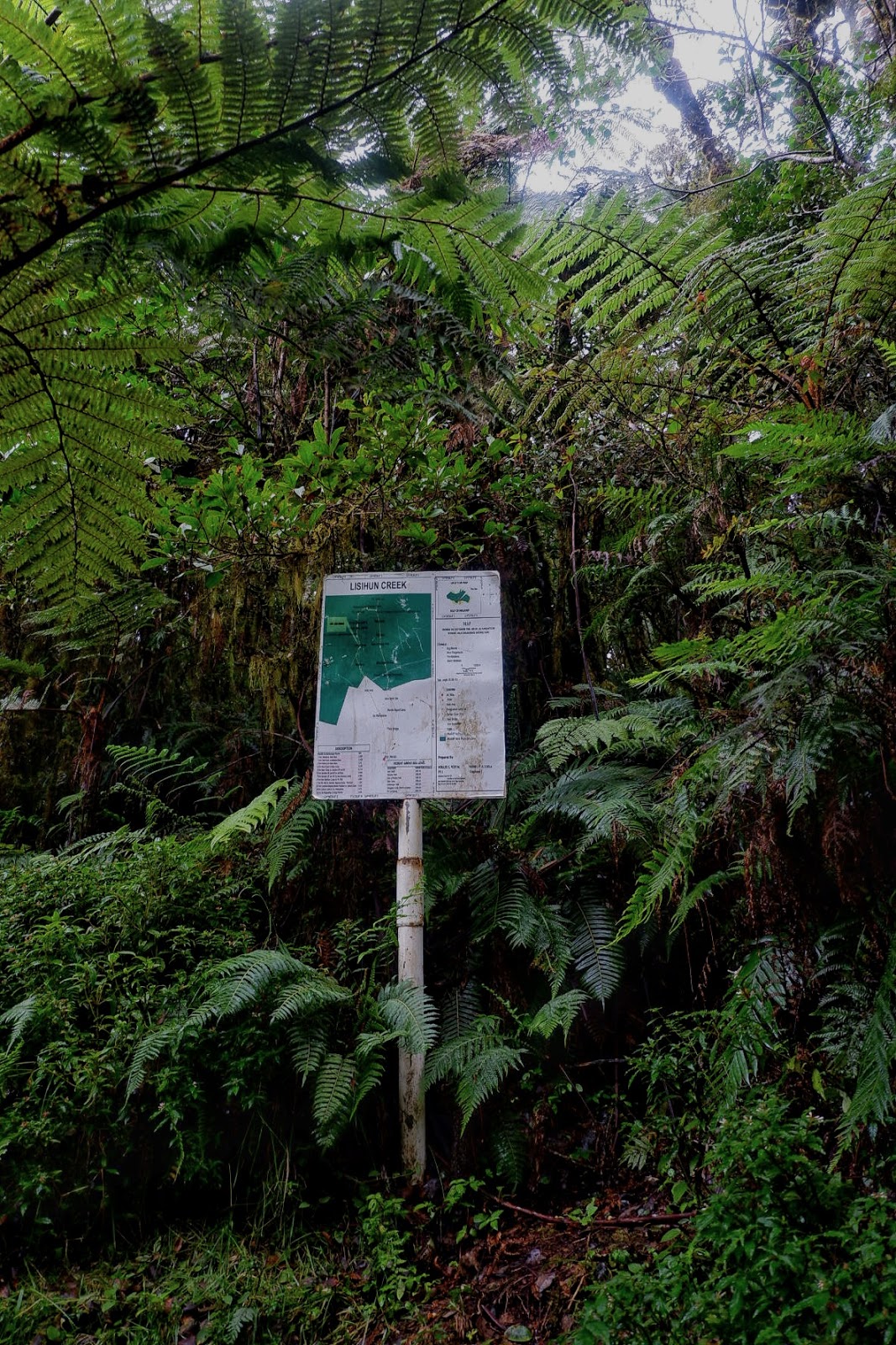
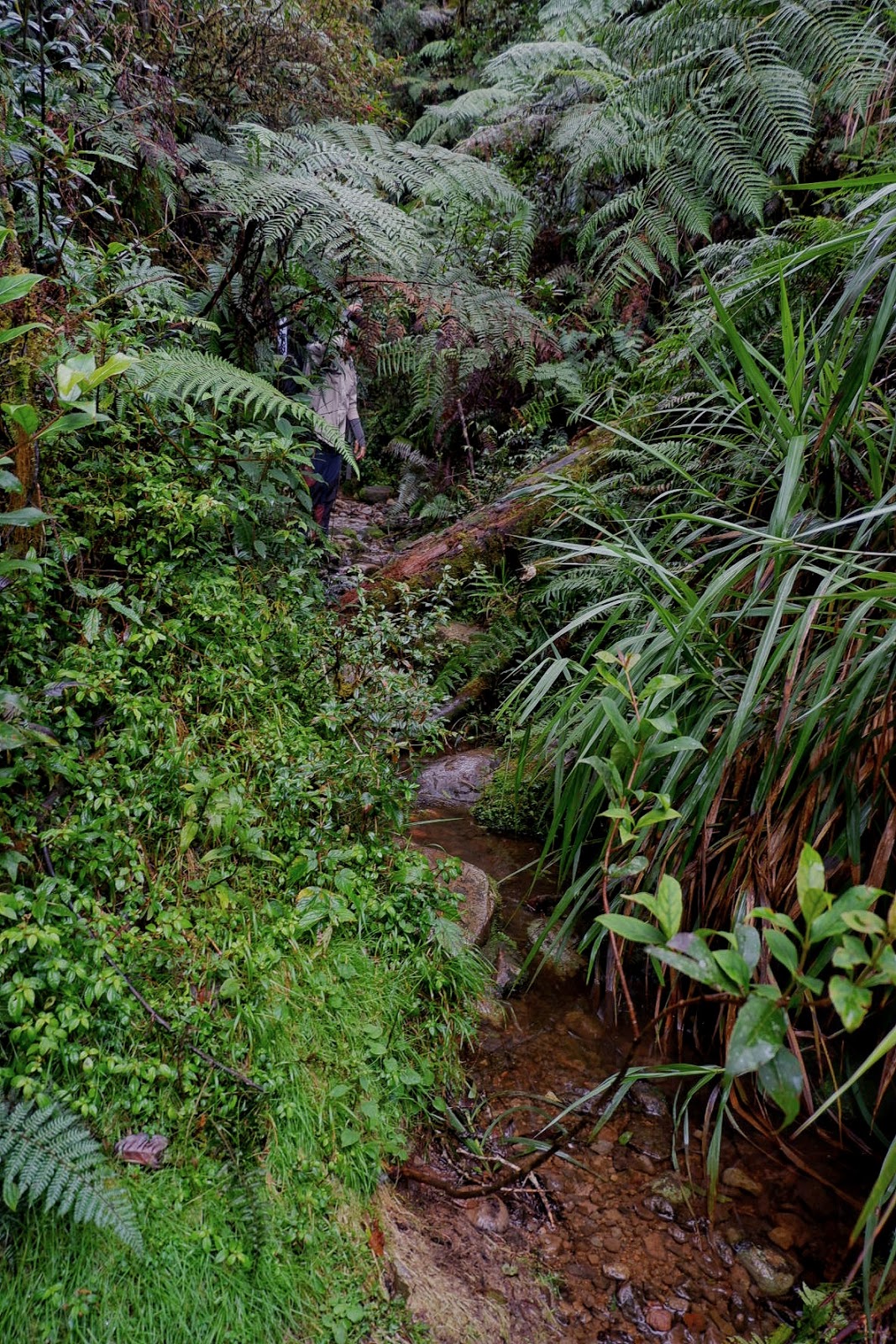
| To Lishun Creek |
 |
| Happiness when you see the landmark |
 |
| Water Source |
 |
| Foggy embrace of the trees |
 |
| Last Rest Area |
 |
| Exiting the mossy forest, back in the open field again the back to Brgy Mendis. |
We reached Brgy Mendis at around 3 PM and we waited for the van which will drop us off to our desired locations.
All our faces were painted with hard-earned happiness. Being able to conquer fears and rise above the challenge of the steep slopes and demanding trails is one of the most gratifying ways of spending time away from work.
In addition, for interesting things along the way which caught my attention, here are some:
 |
| Reminding me of a Banana |
 |
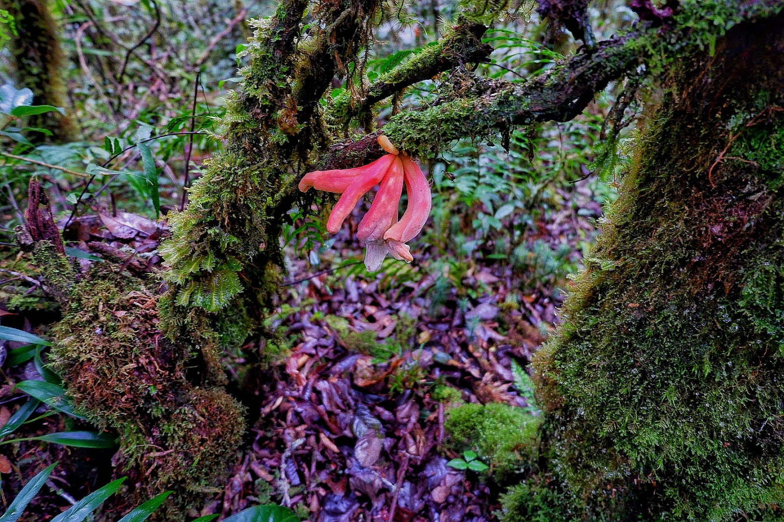
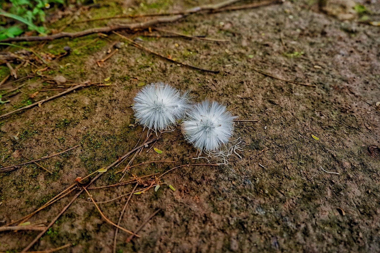
| Pretty little umbrella |
 |
| Roots on roots |
 |
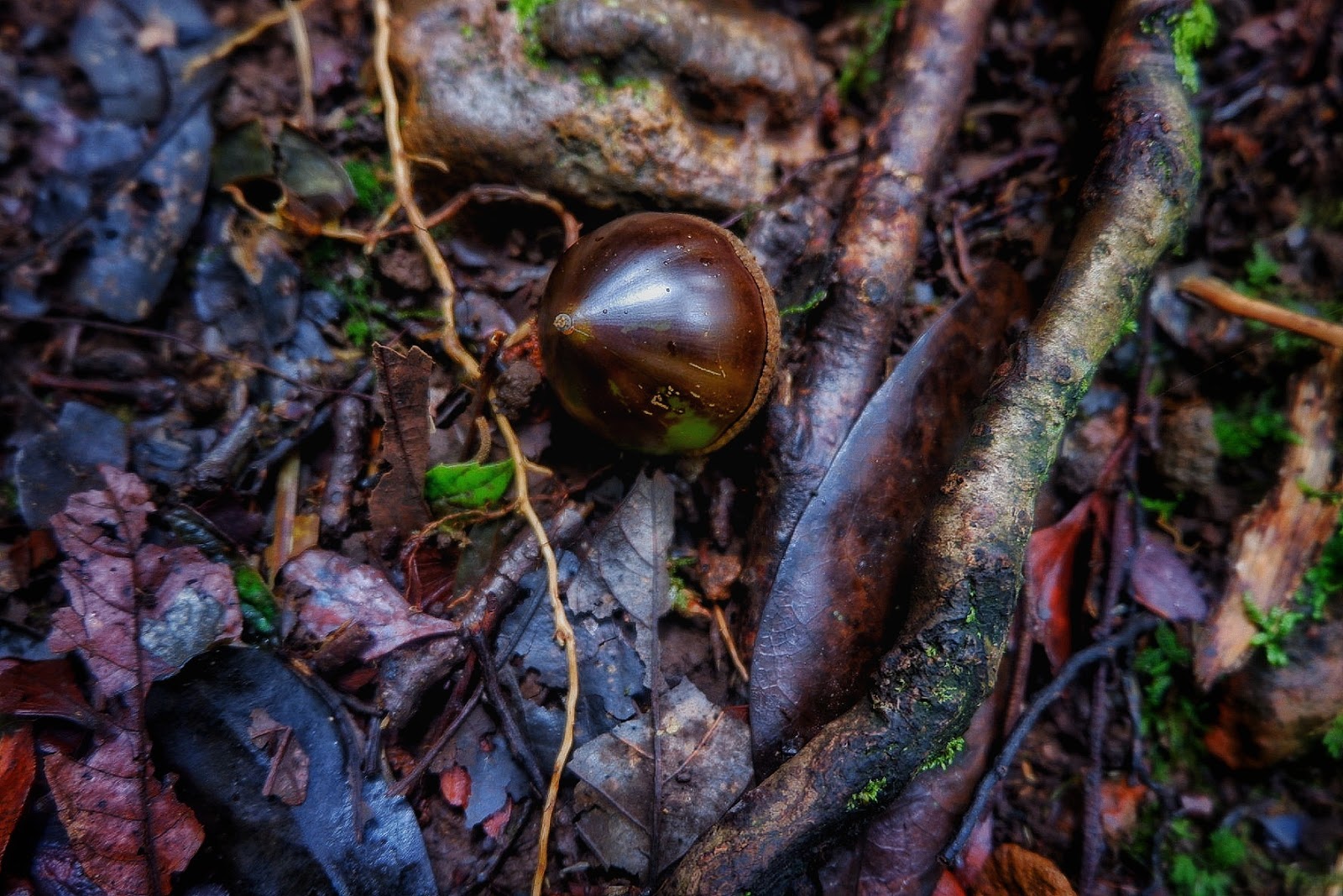
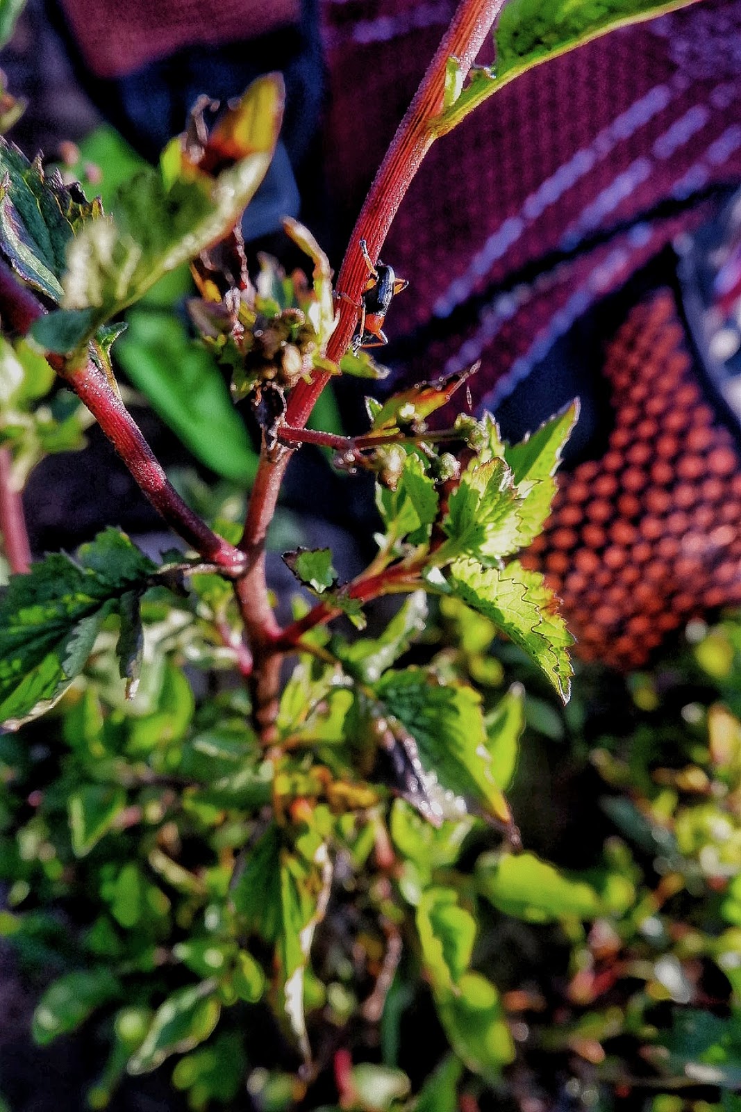
| This shiny nut-like decoration along the way |
 |
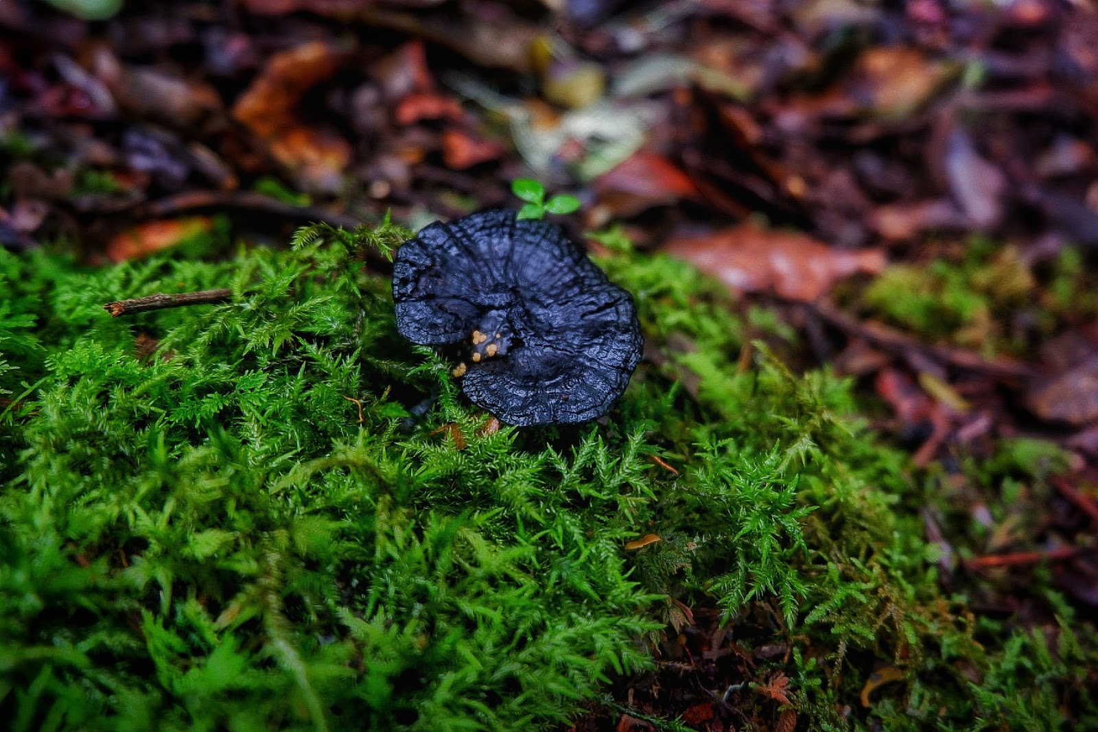
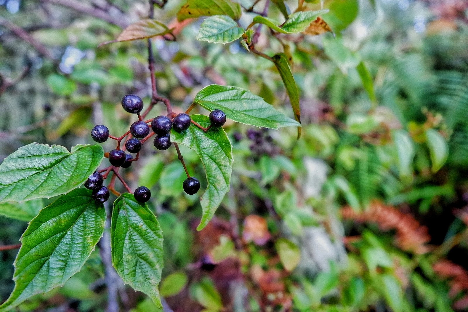
| Cause black is beautiful |
 |
| Feels like Christmas |
 |
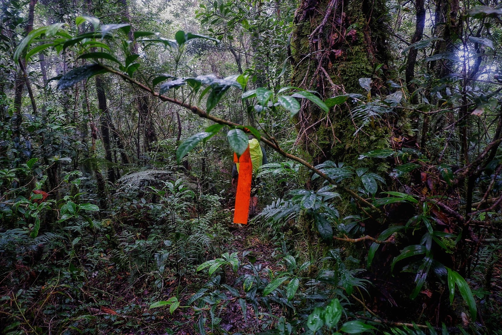
| Helpful Trail signs. When you see this along the way, this means you are on the right track. |
 |
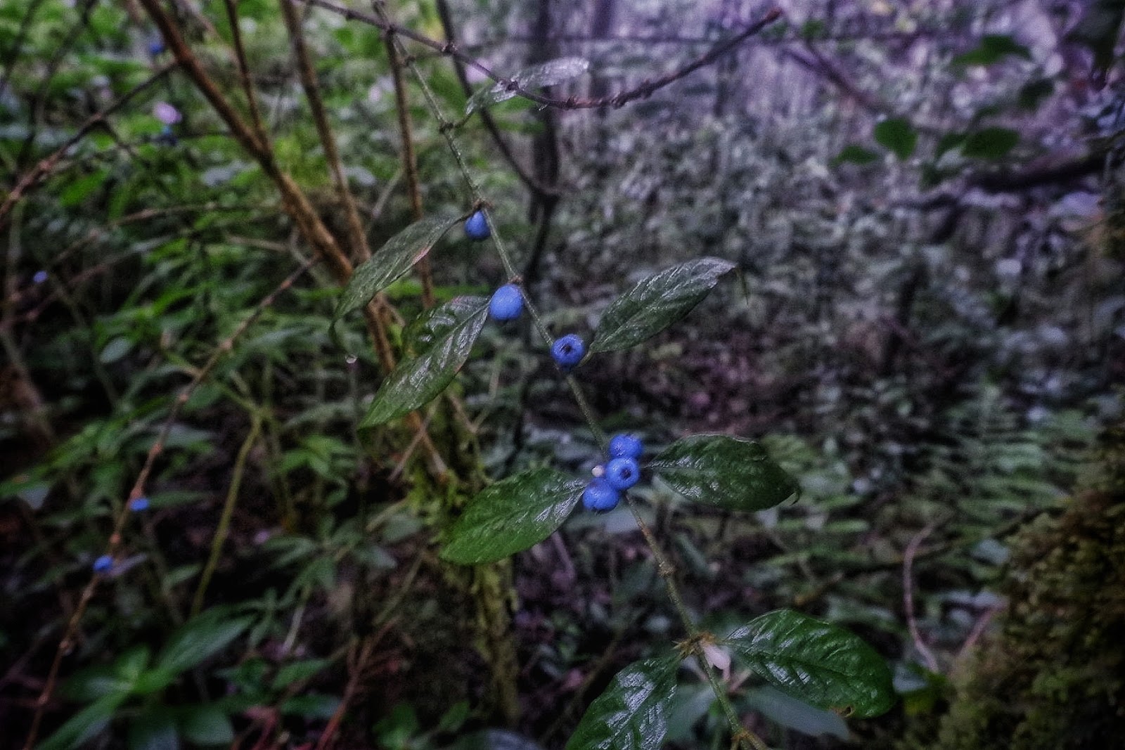
| Blueberries- like. |
 |
| Cause Two is Better than One |
 |
| Not edible but looks tasty |
 |
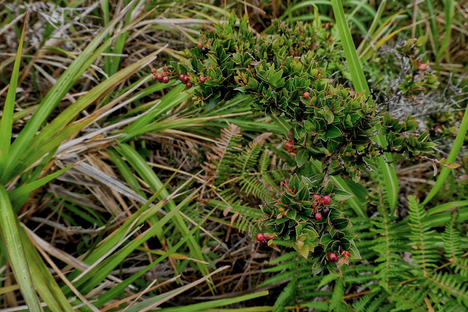
| Like Christmas again |
 |
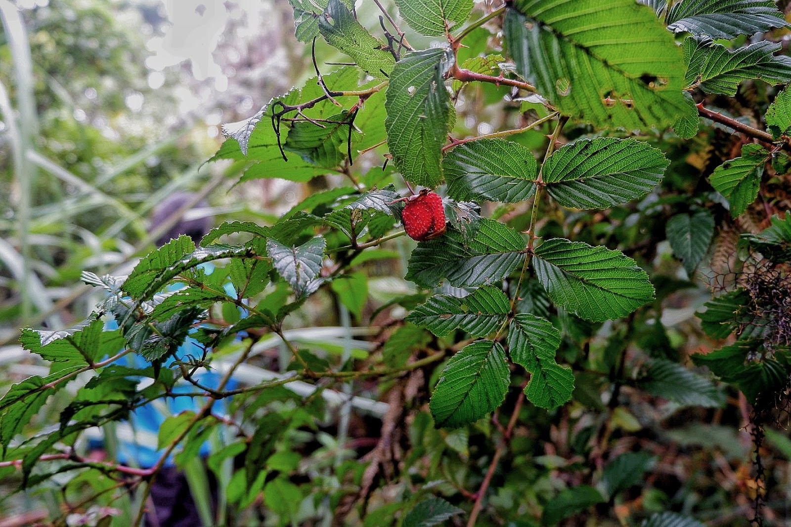
| Wild Strawberry |
 |
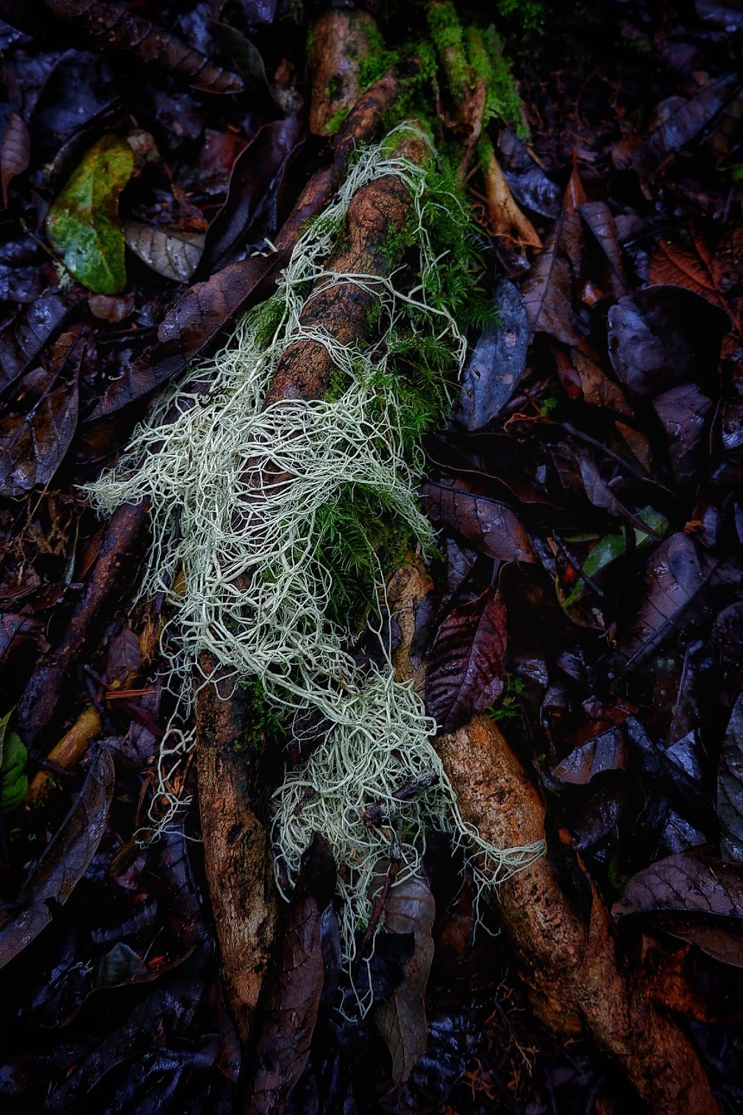
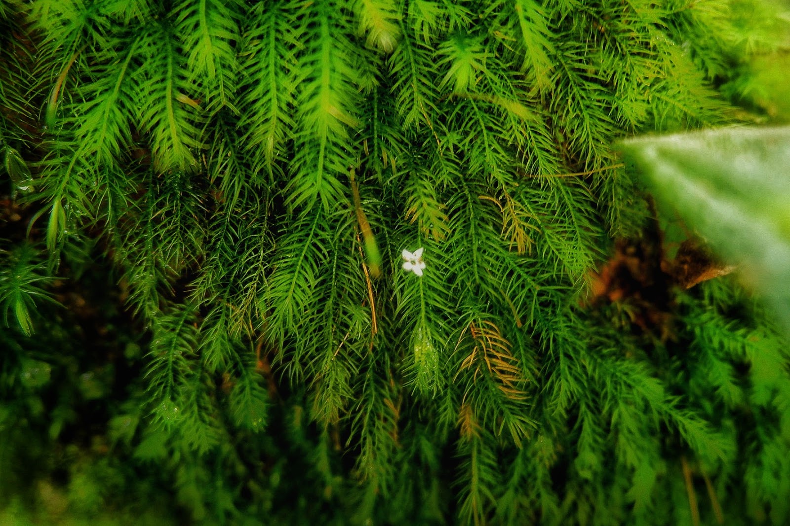
| I blend, find me |
 |
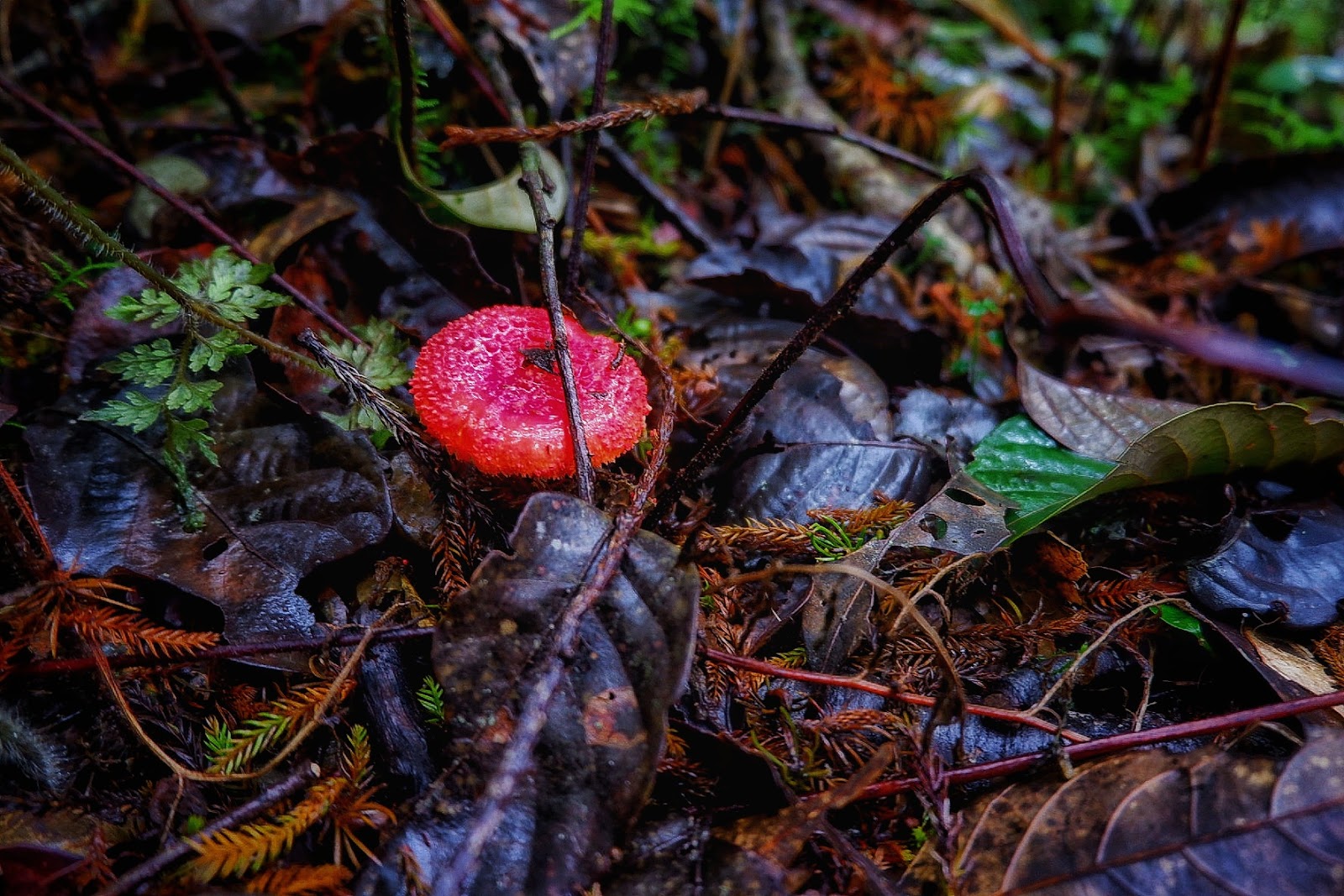
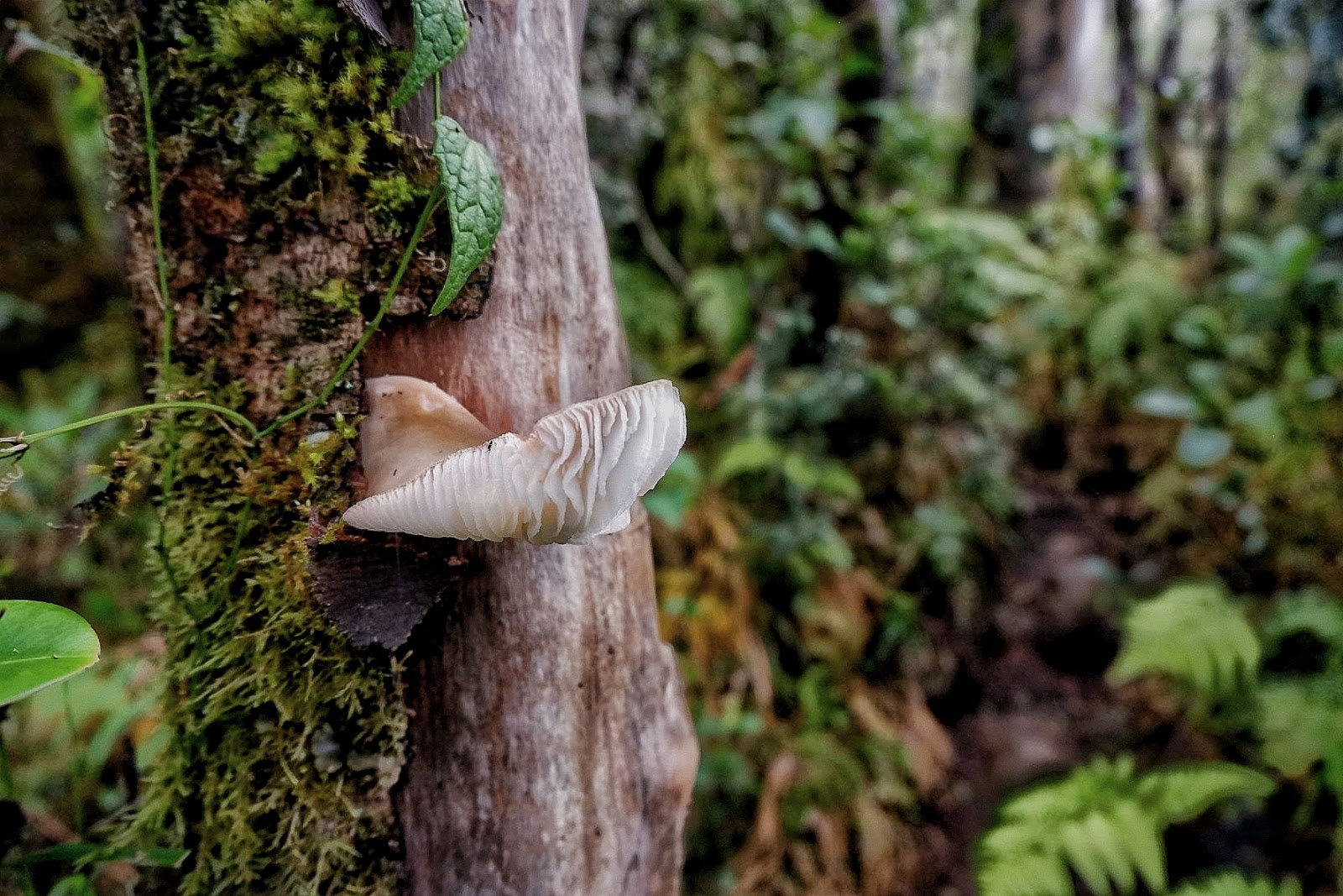
| Mushroom decor |
The expenses incurred on this trip excluding the extra expenses on our side trip to Cagayan de Oro were as follows:
Roundtrip Airfare- Cebu to Davao/Cagayan de Oro to Davao – Php 3500
Event Fee (inclusion of meals, transportation, dry-fit shirt, environmental fee, guide fee for the duration of the climb)- Php 2500
Transportation from Davao Airport to Meet up point- Php 70 (taxi)
Food before the climb and trail snacks (excluded from the event fee)- Php 500
Total: Php 6570

